Medium airport · France

Saint-Dizier – Robinson Air BaseLFSI
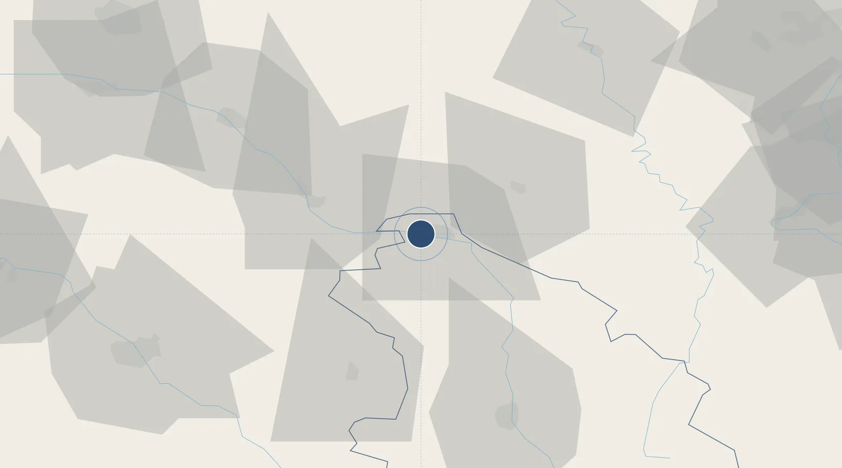
48.6360°, 4.8994°
7,913 ft
Longest runway
1
Runways
458 ft
Elevation

Runway & Layout

Saint-Dizier – Robinson Air Base runway & taxiway layout
Runway & taxiway layout — OpenStreetMap (ODbL) / OurAirports

Radio Frequencies

TWR
138.925 MHz
ST DIZIER TWR
GND
122.1 MHz
APP
24.46 MHz
ST DIZIER APP
APP
142.45 MHz
ST DIZIER APP
OurAirports

Navaids

SDI TACAN Saint-Dizier 114.00 MHz
SDI NDB Saint-Dizier 373 kHz
OurAirports

Runways · 1

RunwayDimensions SurfaceTrue headingLit
11/29 7,913 × 148ft Asphalt 113°
OurAirports

Airport Specifications

ICAO code
LFSI
OurAirports
Airport class
Medium airport
OurAirports
Scheduled service
No
OurAirports
Runway surface
Asphalt
OurAirports
Served city
Saint-Dizier
OurAirports

Location

Location of LFSI
Natural Earth 10m (public domain) · Haute-Marne · LFSI · 48.64, 4.90GoogleOSMYandex

Nearby Logistics Neighbours

Airports
  1. 1Chalons Vatry airport53 km
  2. 2Verdun-Le Rozelier Airfield68 km
  3. 3Troyes-Barberey Airport74 km
  4. 4Nancy-Ochey (BA 133) Air Base78 km
  5. 5Lieutenant Étienne Mantoux Air Base87 km
Nearest neighbours — logibook spatial index (haversine) over the source coordinates
Cities
  1. 1Roches-sur-Marne9 km
  2. 2Cousances-les-Forges14 km
  3. 3Wassy16 km
  4. 4Pargny-sur-Saulx16 km
  5. 5Sermaize-les-Bains16 km
Nearest neighbours — logibook spatial index (haversine) over the source coordinates
Ports
  1. 1Bruxelles251 km
  2. 2Ghent283 km
  3. 3Antwerpen289 km
  4. 4Terneuzen312 km
  5. 5Bruges313 km
Nearest neighbours — logibook spatial index (haversine) over the source coordinates
Trade Zones
  1. 1ZFU Saint-Dizier2 km
  2. 2ZFU La Chapelle Saint-Luc, Les Noës-près-Troyes, Troyes, Sainte-Savine74 km
  3. 3ZFU Maxéville, Laxou, et de Nancy93 km
  4. 4ZFU Reims96 km
  5. 5ZFU Metz106 km
Nearest neighbours — logibook spatial index (haversine) over the source coordinates
DatabookThe Record of Consolidated Knowledge
France beyond logistics?
Browse databook

All Sources

AirportsOurAirports
Public domain
Portsthe NGA World Port Index
Public domain (US gov)
LocationsUN/LOCODE
UN/LOCODE — free
Trade Zonesthe World Bank SEZ database
CC BY 4.0
Trade ZonesOpen Zone Map
CC BY
InfrastructureOpenStreetMap
ODbL 1.0
← France airports