Economic Revitalization Project · France
ZFU Reims Active
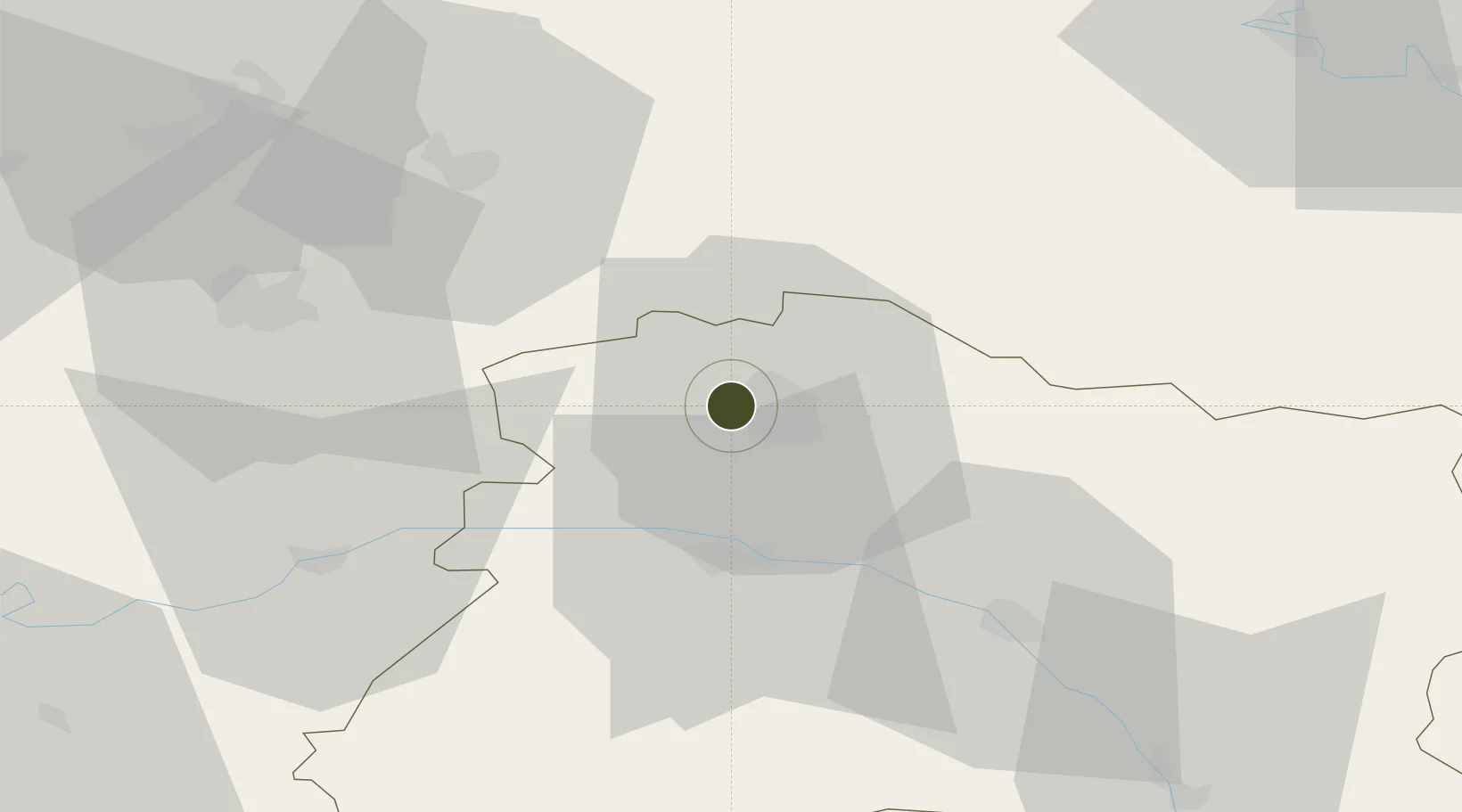
49.2535°, 3.9849°
125 ha
Zone area
181.3 km
Nearest port
55.8 km
Nearest airport
Gateway access
Zone profile
Zone type
Economic Revitalization Project
Region
Marne
Status
Active
Management
Public
Operator
Ville de Reims
Legal framework
Décret no 65-939 du 8 novembre 1965, Décret du 9 Octobre 2008
Location
Nearby Logistics Neighbours
Ports
- 1Bruxelles181 km
- 2Saint-Valery-Sur-Somme199 km
- 3Ghent202 km
- 4Le Treport209 km
- 5Port Of Rouen213 km
Airports
Cities
- 1Thillois3 km
- 2Reims4 km
- 3Coulommes-la-Montagne5 km
- 4Vrigny5 km
- 5Merfy6 km
Trade Zones
- 1ZFU Presles, Chevreux51 km
- 2ZFU Ronde Couture76 km
- 3ZFU Meaux87 km
- 4ZFU Le Vermandois Vermand, Fayet, Artois, Champagne87 km
- 5ZFU Saint-Dizier95 km
DatabookThe Record of Consolidated Knowledge
France beyond logistics?