UN/LOCODE hub · France
FRVVR
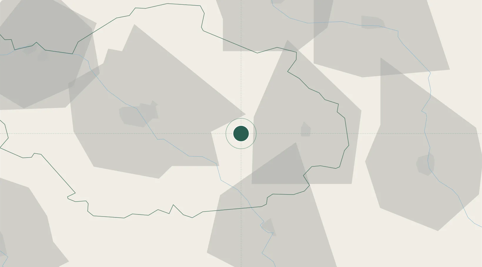
Vendeuvre-sur-Barse
48.2333°, 4.4667°
2,703
Population
2
Transport functions
Transport Functions
Rail
Road
Hub Profile
Place type
Populated place
Region
Grand Est
Population
2,703
Time zone
Europe/Paris
Elevation
157 m
Location
Nearby Logistics Neighbours
Cities
- 1Meurville12 km
- 2Ville-sur-Arce13 km
- 3Bligny13 km
- 4Montiéramey14 km
- 5Bar-sur-Seine14 km
Ports
- 1Bruxelles293 km
- 2Ghent319 km
- 3Antwerpen332 km
- 4Nieuwpoort345 km
- 5Bruges346 km
Airports
Trade Zones
DatabookThe Record of Consolidated Knowledge
France beyond logistics?