UN/LOCODE hub · France
FR3AU
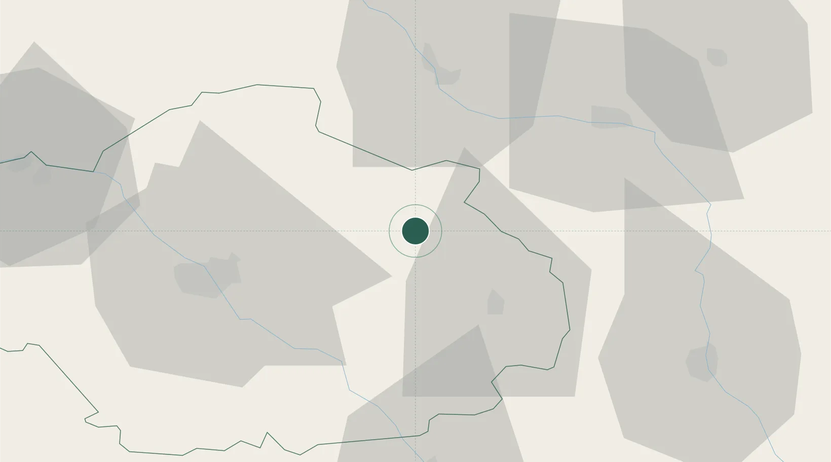
Brienne-le-Château
48.4000°, 4.5333°
3,473
Population
1
Transport functions
Transport Functions
Multimodal
Hub Profile
Place type
Populated place
Region
Grand Est
Population
3,473
Time zone
Europe/Paris
Elevation
127 m
Location
Nearby Logistics Neighbours
Cities
- 1Brévonnes11 km
- 2Chavanges13 km
- 3Onjon19 km
- 4Vendeuvre-sur-Barse19 km
- 5Nully21 km
Ports
- 1Bruxelles275 km
- 2Ghent302 km
- 3Antwerpen313 km
- 4Bruges329 km
- 5Nieuwpoort330 km
Airports
Trade Zones
- 1ZFU Saint-Dizier36 km
- 2ZFU La Chapelle Saint-Luc, Les Noës-près-Troyes, Troyes, Sainte-Savine39 km
- 3ZFU Sens96 km
- 4ZFU Reims103 km
- 5ZFU Montereau-Fault-Yonne117 km
DatabookThe Record of Consolidated Knowledge
France beyond logistics?