Economic Revitalization Project · France
ZFU Sens Active
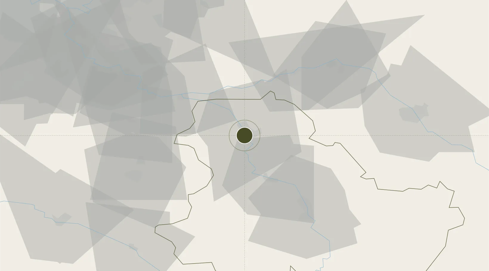
48.1951°, 3.2688°
147 ha
Zone area
213.2 km
Nearest port
41.9 km
Nearest airport
Gateway access
Zone profile
Zone type
Economic Revitalization Project
Region
Yonne
Status
Active
Management
Public
Operator
Ville de Sens
Legal framework
Décret no 65-939 du 8 novembre 1965, Décret du 9 Octobre 2008
Location
Nearby Logistics Neighbours
Ports
- 1Port Of Rouen213 km
- 2Le Treport250 km
- 3Dieppe250 km
- 4Saint-Valery-Sur-Somme252 km
- 5Honfleur262 km
Airports
- 1Auxerre Branches airport42 km
- 2Troyes-Barberey Airport57 km
- 3Melun-Villaroche Airfield63 km
- 4Paris-Orly Airport88 km
- 5Chalons Vatry airport94 km
Cities
- 1Sens1 km
- 2Malay-le-Grand6 km
- 3Cuy6 km
- 4Véron7 km
- 5Malay-le-Petit9 km
Trade Zones
DatabookThe Record of Consolidated Knowledge
France beyond logistics?