Medium airport · France
Auxerre Branches airportLFLA
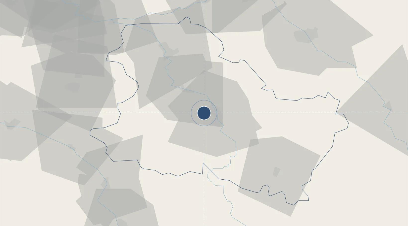
47.8502°, 3.4971°
5,413 ft
Longest runway
1
Runways
523 ft
Elevation
Runway & Layout

Radio Frequencies
INFO
129.8 MHz
AUXERRE INFO
Runways · 1
| Runway | Dimensions | Surface | True heading | Lit |
|---|---|---|---|---|
| 18/36 | 5,413 × 98ft | Asphalt | 184° | ✓ |
Airport Specifications
IATA code
AUF
ICAO code
LFLA
Airport class
Medium airport
Scheduled service
No
Runway surface
Asphalt
Served city
Auxerre
Location
Nearby Logistics Neighbours
Airports
- 1Troyes-Barberey Airport65 km
- 2Nevers-Fourchambault Airport99 km
- 3Melun-Villaroche Airfield104 km
- 4Avord (BA 702) Air Base110 km
- 5Chalons Vatry airport115 km
Ports
- 1Port Of Rouen252 km
- 2Dieppe291 km
- 3Le Treport291 km
- 4Saint-Valery-Sur-Somme293 km
- 5Honfleur297 km
Trade Zones
- 1ZFU Sens42 km
- 2ZFU La Chapelle Saint-Luc, Les Noës-près-Troyes, Troyes, Sainte-Savine64 km
- 3ZFU Montereau-Fault-Yonne73 km
- 4ZFU Melun100 km
- 5ZFU Corbeil-Evry115 km
DatabookThe Record of Consolidated Knowledge
France beyond logistics?