Economic Revitalization Project · France
ZFU Montereau-Fault-Yonne Active
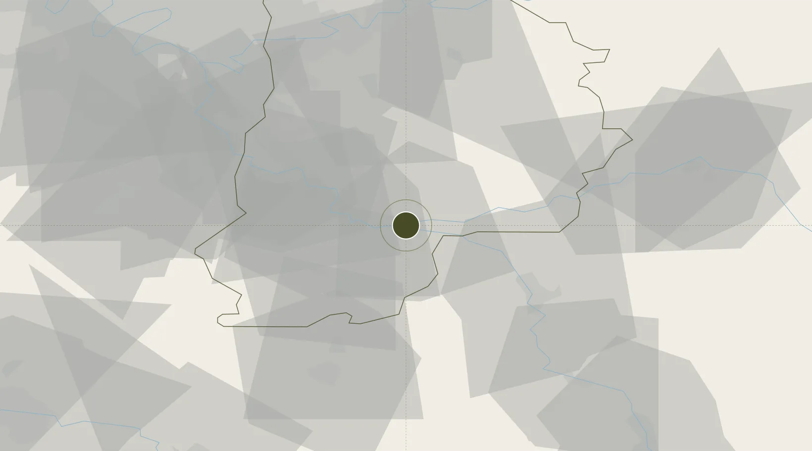
48.3887°, 2.9445°
110 ha
Zone area
181.0 km
Nearest port
31.3 km
Nearest airport
Gateway access
Zone profile
Zone type
Economic Revitalization Project
Region
Seien-et-Marne
Status
Active
Management
Public
Operator
Montereau-Fault-Yonne
Legal framework
Décret no 65-939 du 8 novembre 1965, Décret du 9 Octobre 2008
Location
Nearby Logistics Neighbours
Ports
- 1Port Of Rouen181 km
- 2Dieppe219 km
- 3Le Treport219 km
- 4Saint-Valery-Sur-Somme222 km
- 5Honfleur230 km
Airports
- 1Melun-Villaroche Airfield31 km
- 2Paris-Orly Airport56 km
- 3Vélizy-Villacoublay Air Base69 km
- 4Auxerre Branches airport73 km
- 5Toussus-le-Noble Airport74 km
Cities
- 1Montereau-Fault-Yonne1 km
- 2Varennes-sur-Seine3 km
- 3Cannes-Écluse4 km
- 4Île-Molène8 km
- 5Écuelles10 km
Trade Zones
- 1ZFU Melun28 km
- 2ZFU Sens32 km
- 3ZFU Corbeil-Evry45 km
- 4ZFU Epinay-sous-Sénart47 km
- 5ZFU Grigny Viry-Châtillon52 km
DatabookThe Record of Consolidated Knowledge
France beyond logistics?