Medium airport · France

Chalons Vatry airportLFOK
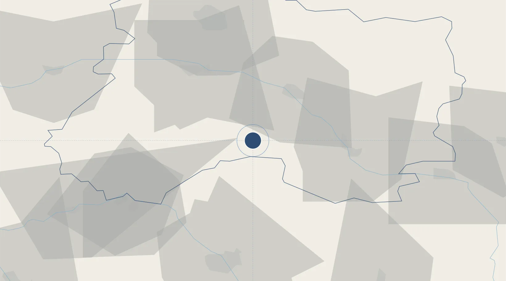
48.7733°, 4.2061°
12,664 ft
Longest runway
1
Runways
587 ft
Elevation

Runway & Layout

Chalons Vatry airport runway & taxiway layout
Runway & taxiway layout — OpenStreetMap (ODbL) / OurAirports

Radio Frequencies

TWR
119.4 MHz
AFIS
119.4 MHz
INFO
OurAirports

Navaids

CAV VOR-DME Vatry 111.65 MHz
OurAirports

Runways · 1

RunwayDimensions SurfaceTrue headingLit
10/28 12,664 × 148ft Concrete 102°
OurAirports

Airport Specifications

IATA code
XCR
OurAirports
ICAO code
LFOK
OurAirports
Airport class
Medium airport
OurAirports
Scheduled service
Yes
OurAirports
Runway surface
Concrete
OurAirports
Served city
Chalons en Champagne
OurAirports

Location

Location of LFOK
Natural Earth 10m (public domain) · Marne · LFOK · 48.77, 4.21GoogleOSMYandex

Nearby Logistics Neighbours

Airports
  1. 1Troyes-Barberey Airport52 km
  2. 2Saint-Dizier – Robinson Air Base53 km
  3. 3Verdun-Le Rozelier Airfield100 km
  4. 4Melun-Villaroche Airfield114 km
  5. 5Auxerre Branches airport115 km
Nearest neighbours — logibook spatial index (haversine) over the source coordinates
Cities
  1. 1Bussy-Lettrée5 km
  2. 2Vatry6 km
  3. 3Île-de-Batz17 km
  4. 4Bergères-lès-Vertus19 km
  5. 5Vertus21 km
Nearest neighbours — logibook spatial index (haversine) over the source coordinates
Ports
  1. 1Bruxelles233 km
  2. 2Ghent257 km
  3. 3Antwerpen272 km
  4. 4Nieuwpoort282 km
  5. 5Bruges283 km
Nearest neighbours — logibook spatial index (haversine) over the source coordinates
Trade Zones
  1. 1ZFU Saint-Dizier51 km
  2. 2ZFU La Chapelle Saint-Luc, Les Noës-près-Troyes, Troyes, Sainte-Savine54 km
  3. 3ZFU Reims56 km
  4. 4ZFU Presles, Chevreux94 km
  5. 5ZFU Sens94 km
Nearest neighbours — logibook spatial index (haversine) over the source coordinates
DatabookThe Record of Consolidated Knowledge
France beyond logistics?
Browse databook

All Sources

AirportsOurAirports
Public domain
Portsthe NGA World Port Index
Public domain (US gov)
LocationsUN/LOCODE
UN/LOCODE — free
Trade Zonesthe World Bank SEZ database
CC BY 4.0
Trade ZonesOpen Zone Map
CC BY
InfrastructureOpenStreetMap
ODbL 1.0
← France airports