UN/LOCODE hub · France
FRHAC

Hunspach

48.9500°, 7.9500°
1
Transport functions

Transport Functions

Multimodal
UN/LOCODE

Hub Profile

Place type
Populated place
GeoNames
Region
Grand Est
GeoNames
Time zone
Europe/Paris
GeoNames
Elevation
158 m
GeoNames

Location

Location of FRHAC
Natural Earth 10m (public domain) · Grand Est · FRHAC · 48.95, 7.95GoogleOSMYandex

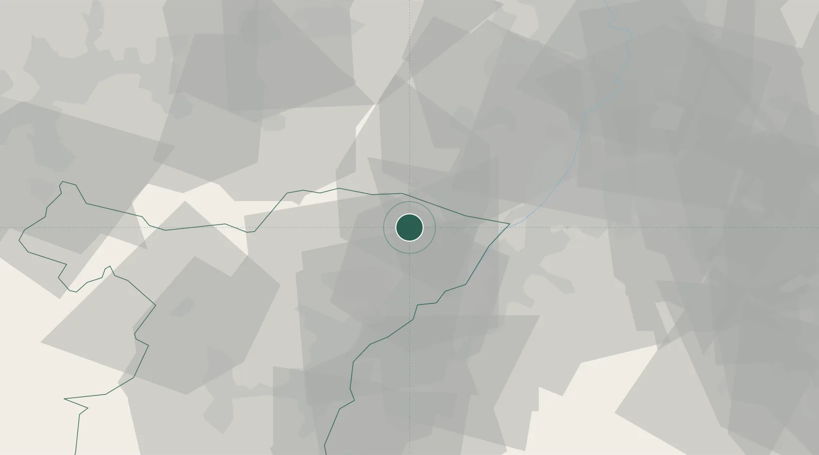
Nearby Logistics Neighbours

Cities
  1. 1Seebach3 km
  2. 2Hatten6 km
  3. 3Retschwiller6 km
  4. 4Cleebourg7 km
  5. 5Seltz13 km
Nearest neighbours — logibook spatial index (haversine) over the source coordinates
Ports
  1. 1Bruxelles334 km
  2. 2Antwerpen357 km
  3. 3Ghent382 km
  4. 4Hansweert395 km
  5. 5Dordrecht395 km
Nearest neighbours — logibook spatial index (haversine) over the source coordinates
Airports
  1. 1Karlsruhe Baden-Baden Airport21 km
  2. 2Strasbourg Airport52 km
  3. 3Phalsbourg-Bourscheid Air Base59 km
  4. 4Ramstein Air Base60 km
  5. 5Lahr Airport65 km
Nearest neighbours — logibook spatial index (haversine) over the source coordinates
Trade Zones
  1. 1ZFU Hautepierre44 km
  2. 2ZFU Neuhof48 km
  3. 3ZFU La Cité Behren-lès-Forbach78 km
  4. 4ZFU Metz132 km
  5. 5ZFU Woippy-Metz133 km
Nearest neighbours — logibook spatial index (haversine) over the source coordinates
DatabookThe Record of Consolidated Knowledge
France beyond logistics?
Browse databook

All Sources

LocationsUN/LOCODE
UN/LOCODE — free
Portsthe NGA World Port Index
Public domain (US gov)
AirportsOurAirports
Public domain
Trade Zonesthe World Bank SEZ database
CC BY 4.0
Trade ZonesOpen Zone Map
CC BY
← France locations