Transport Functions
Road
Multimodal
Hub Profile
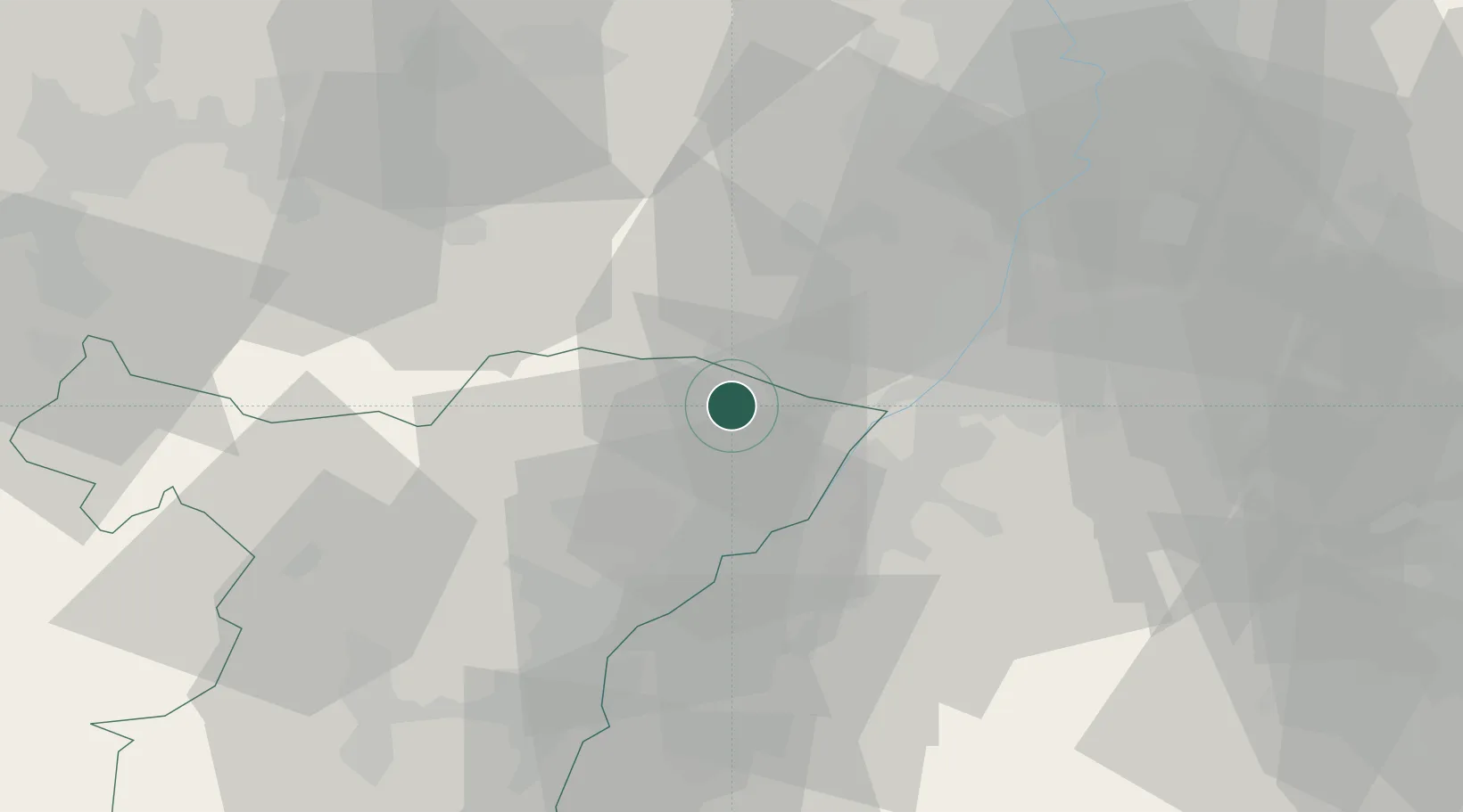
Place type
Populated place
Region
Grand Est
Time zone
Europe/Paris
Elevation
159 m
Location
Nearby Logistics Neighbours
Cities
- 1Hunspach3 km
- 2Cleebourg7 km
- 3Hatten7 km
- 4Retschwiller9 km
- 5Freckenfeld13 km
Airports
- 1Karlsruhe Baden-Baden Airport22 km
- 2Strasbourg Airport54 km
- 3Ramstein Air Base59 km
- 4Phalsbourg-Bourscheid Air Base61 km
- 5Lahr Airport67 km
Trade Zones
- 1ZFU Hautepierre47 km
- 2ZFU Neuhof50 km
- 3ZFU La Cité Behren-lès-Forbach80 km
- 4ZFU Metz134 km
- 5ZFU Woippy-Metz135 km
DatabookThe Record of Consolidated Knowledge
France beyond logistics?