Transport Functions
Multimodal
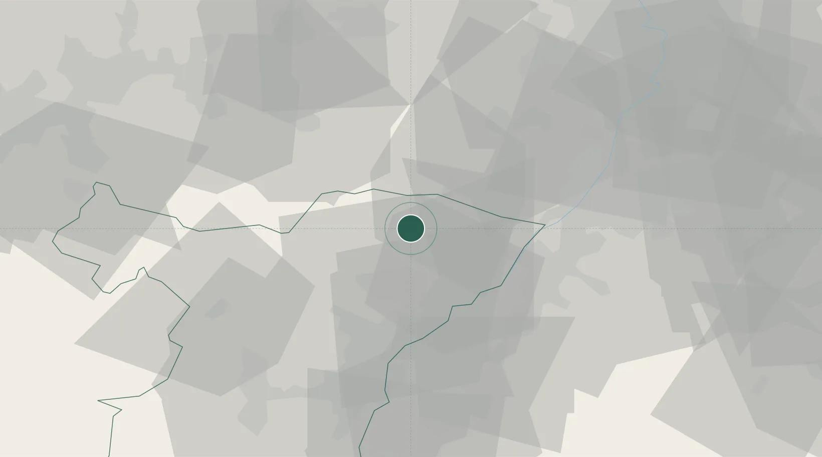
Hub Profile
Place type
Populated place
Region
Grand Est
Population
268
Time zone
Europe/Paris
Elevation
198 m
Location
Nearby Logistics Neighbours
Cities
- 1Cleebourg6 km
- 2Hunspach6 km
- 3Seebach9 km
- 4Durrenbach9 km
- 5Hatten10 km
Airports
- 1Karlsruhe Baden-Baden Airport25 km
- 2Strasbourg Airport49 km
- 3Phalsbourg-Bourscheid Air Base53 km
- 4Ramstein Air Base58 km
- 5Saarbrücken Airport63 km
Trade Zones
- 1ZFU Hautepierre42 km
- 2ZFU Neuhof46 km
- 3ZFU La Cité Behren-lès-Forbach73 km
- 4ZFU Metz126 km
- 5ZFU Woippy-Metz127 km
DatabookThe Record of Consolidated Knowledge
France beyond logistics?