UN/LOCODE hub · France
FRYEN
Creney-près-Troyes
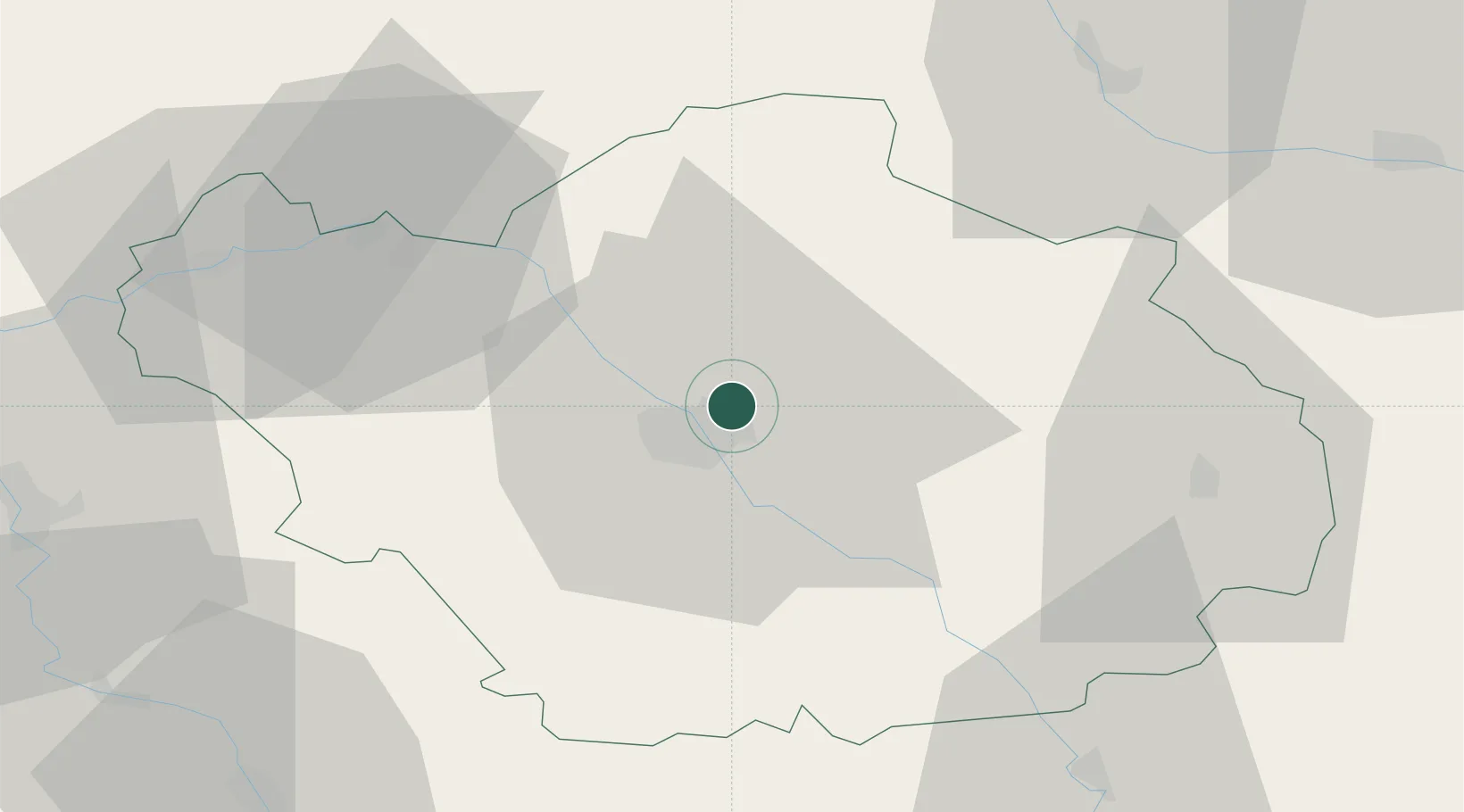
48.3333°, 4.1333°
1,551
Population
3
Transport functions
Transport Functions
Port
Rail
Road
Hub Profile
Place type
Populated place
Region
Grand Est
Population
1,551
Time zone
Europe/Paris
Elevation
122 m
Location
Nearby Logistics Neighbours
Cities
- 1Lavau4 km
- 2Troyes5 km
- 3Sainte-Savine7 km
- 4Barberey-Saint-Sulpice7 km
- 5Rosières-près-Troyes9 km
Ports
- 1Bruxelles282 km
- 2Ghent305 km
- 3Antwerpen321 km
- 4Nieuwpoort327 km
- 5Bruges329 km
Airports
Trade Zones
DatabookThe Record of Consolidated Knowledge
France beyond logistics?