Transport Functions
Road
Multimodal
Hub Profile
Place type
Populated place
Region
Grand Est
Population
471
Time zone
Europe/Paris
Elevation
116 m
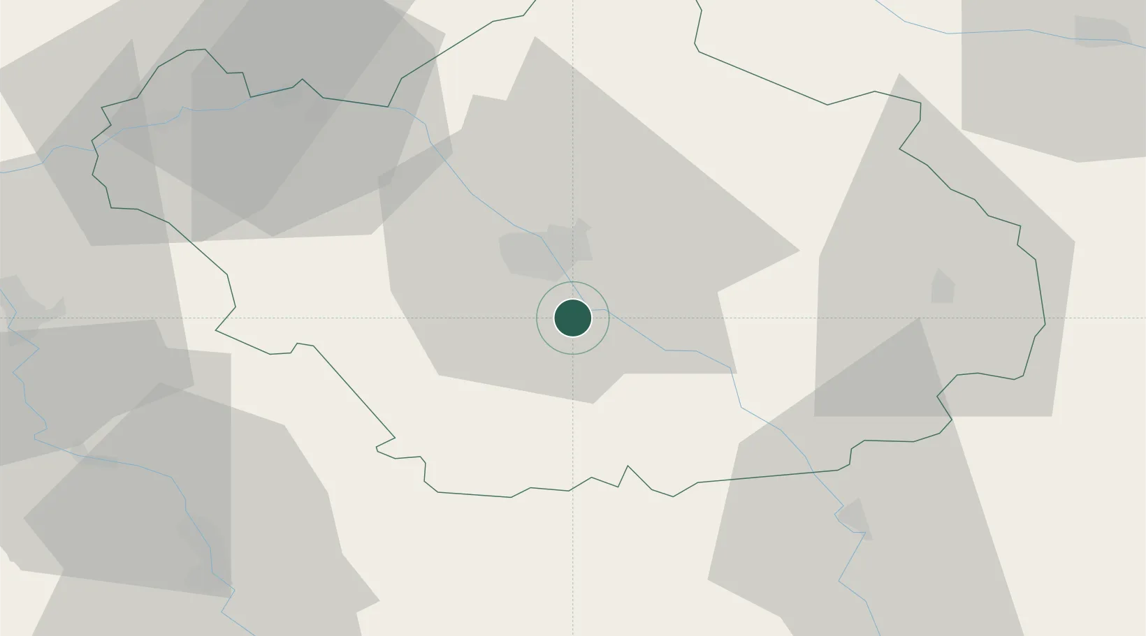
Location
Nearby Logistics Neighbours
Cities
- 1Moussey3 km
- 2Vaudes3 km
- 3Rosières-près-Troyes9 km
- 4Machy10 km
- 5Lusigny-sur-Barse11 km
Ports
- 1Bruxelles297 km
- 2Ghent320 km
- 3Antwerpen336 km
- 4Nieuwpoort341 km
- 5Gravelines344 km
Airports
Trade Zones
DatabookThe Record of Consolidated Knowledge
France beyond logistics?