Medium airport · France

Melun-Villaroche AirfieldLFPM
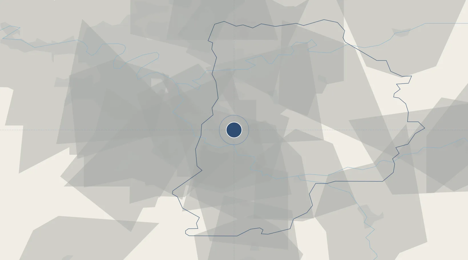
48.6047°, 2.6711°
6,480 ft
Longest runway
2
Runways
302 ft
Elevation

Runway & Layout

Melun-Villaroche Airfield runway & taxiway layout
Runway & taxiway layout — OpenStreetMap (ODbL) / OurAirports

Radio Frequencies

ATIS
128.175 MHz
TWR
121.1 MHz
MELUN TWR
APP
118.05 MHz
SEINE APP
OurAirports

Navaids

MLN VOR-DME Melun 113.60 MHz
OurAirports

Runways · 2

RunwayDimensions SurfaceTrue headingLit
10/28 6,480 × 148ft Asphalt 103°
01/19 4,265 × 98ft Asphalt 013°
OurAirports

Airport Specifications

ICAO code
LFPM
OurAirports
Airport class
Medium airport
OurAirports
Scheduled service
No
OurAirports
Runway surface
Asphalt
OurAirports
Served city
Moissy-Cramayel, Seine-et-Marne
OurAirports

Location

Location of LFPM
Natural Earth 10m (public domain) · Seien-et-Marne · LFPM · 48.60, 2.67GoogleOSMYandex

Nearby Logistics Neighbours

Airports
  1. 1Paris-Orly Airport25 km
  2. 2Vélizy-Villacoublay Air Base39 km
  3. 3Paris-Le Bourget International Airport43 km
  4. 4Toussus-le-Noble Airport45 km
  5. 5Charles de Gaulle International Airport46 km
Nearest neighbours — logibook spatial index (haversine) over the source coordinates
Cities
  1. 1Vert-Saint-Denis6 km
  2. 2Cesson7 km
  3. 3Grisy-Suisnes7 km
  4. 4Savigny-le-Temple8 km
  5. 5Melun8 km
Nearest neighbours — logibook spatial index (haversine) over the source coordinates
Ports
  1. 1Port Of Rouen150 km
  2. 2Dieppe187 km
  3. 3Le Treport188 km
  4. 4Saint-Valery-Sur-Somme191 km
  5. 5Honfleur201 km
Nearest neighbours — logibook spatial index (haversine) over the source coordinates
Trade Zones
  1. 1ZFU Melun7 km
  2. 2ZFU Epinay-sous-Sénart16 km
  3. 3ZFU Corbeil-Evry18 km
  4. 4ZFU Grigny Viry-Châtillon23 km
  5. 5ZFU Champigny-sur-Marne et Chennevières-sur-Marne24 km
Nearest neighbours — logibook spatial index (haversine) over the source coordinates
DatabookThe Record of Consolidated Knowledge
France beyond logistics?
Browse databook

All Sources

AirportsOurAirports
Public domain
Portsthe NGA World Port Index
Public domain (US gov)
LocationsUN/LOCODE
UN/LOCODE — free
Trade Zonesthe World Bank SEZ database
CC BY 4.0
Trade ZonesOpen Zone Map
CC BY
InfrastructureOpenStreetMap
ODbL 1.0
← France airports