Transport Functions
Rail
Road
Hub Profile
Place type
Populated place
Region
Grand Est
Population
550
Time zone
Europe/Paris
Elevation
125 m
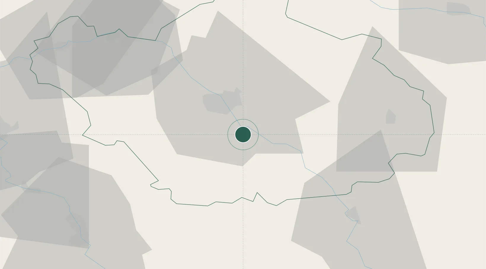
Location
Nearby Logistics Neighbours
Cities
- 1Saint-Thibault3 km
- 2Moussey6 km
- 3Montiéramey10 km
- 4Machy10 km
- 5Lusigny-sur-Barse11 km
Ports
- 1Bruxelles299 km
- 2Ghent322 km
- 3Antwerpen338 km
- 4Nieuwpoort344 km
- 5Bruges346 km
Airports
Trade Zones
DatabookThe Record of Consolidated Knowledge
France beyond logistics?