Transport Functions
Multimodal
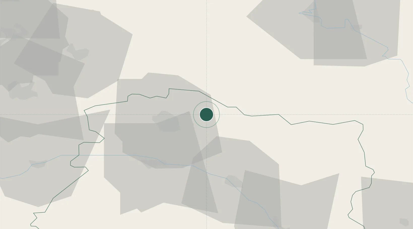
Hub Profile
Place type
Populated place
Region
Grand Est
Population
412
Time zone
Europe/Paris
Elevation
97 m
Location
Nearby Logistics Neighbours
Cities
- 1Nogent-l'Abbesse7 km
- 2Aussonce10 km
- 3Sillery12 km
- 4Saint-Léonard12 km
- 5Val-de-Vesle13 km
Ports
- 1Bruxelles176 km
- 2Ghent202 km
- 3Antwerpen215 km
- 4Bruges229 km
- 5Nieuwpoort231 km
Airports
Trade Zones
- 1ZFU Reims18 km
- 2ZFU Ronde Couture62 km
- 3ZFU Presles, Chevreux68 km
- 4ZFU Saint-Dizier86 km
- 5ZFU Le Vermandois Vermand, Fayet, Artois, Champagne97 km
DatabookThe Record of Consolidated Knowledge
France beyond logistics?