Transport Functions
Multimodal
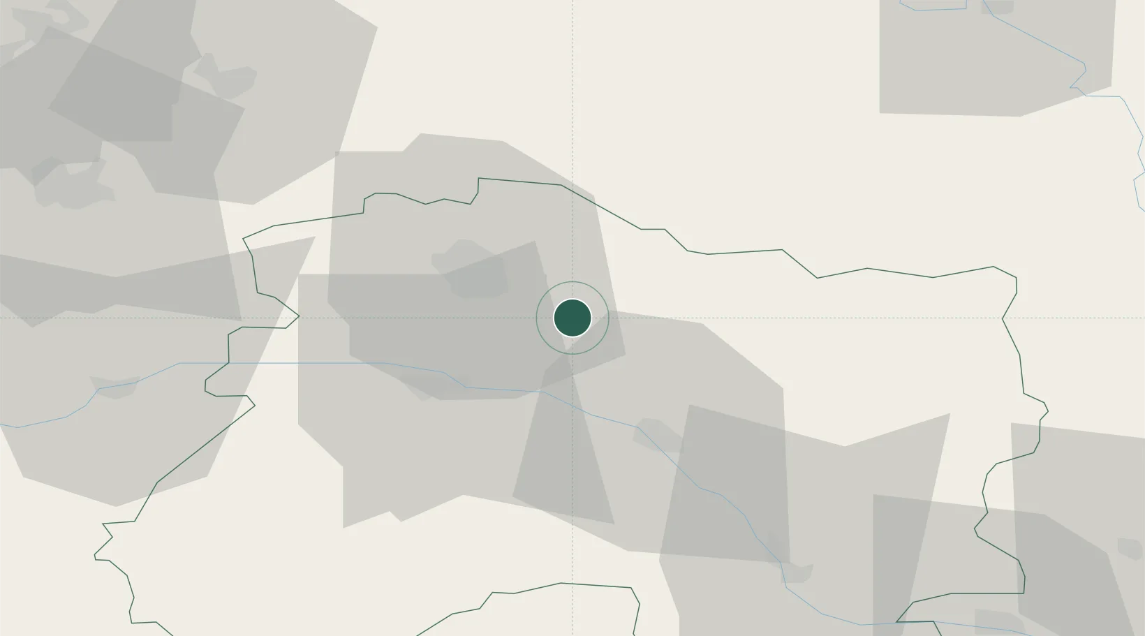
Hub Profile
Place type
Populated place
Region
Grand Est
Time zone
Europe/Paris
Elevation
91 m
Location
Nearby Logistics Neighbours
Cities
- 1Sept-Saulx3 km
- 2Villers-Marmery4 km
- 3Verzenay5 km
- 4Sillery7 km
- 5Mailly-Champagne8 km
Ports
- 1Bruxelles189 km
- 2Ghent214 km
- 3Antwerpen228 km
- 4Bruges241 km
- 5Nieuwpoort242 km
Airports
Trade Zones
DatabookThe Record of Consolidated Knowledge
France beyond logistics?