Transport Functions
Rail
Road
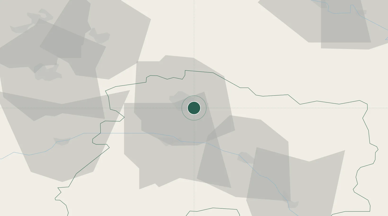
Hub Profile
Place type
Populated place
Region
Grand Est
Population
77
Time zone
Europe/Paris
Elevation
81 m
Location
Nearby Logistics Neighbours
Cities
- 1Sillery3 km
- 2Trois-Puits5 km
- 3Nogent-l'Abbesse5 km
- 4Rilly-la-Montagne7 km
- 5Verzenay7 km
Ports
- 1Bruxelles184 km
- 2Ghent207 km
- 3Antwerpen223 km
- 4Bruges233 km
- 5Nieuwpoort234 km
Airports
Trade Zones
- 1ZFU Reims9 km
- 2ZFU Presles, Chevreux60 km
- 3ZFU Ronde Couture74 km
- 4ZFU Saint-Dizier86 km
- 5ZFU Meaux93 km
DatabookThe Record of Consolidated Knowledge
France beyond logistics?