Transport Functions
Road
Multimodal
Hub Profile
Place type
Populated place
Region
Grand Est
Time zone
Europe/Paris
Elevation
180 m
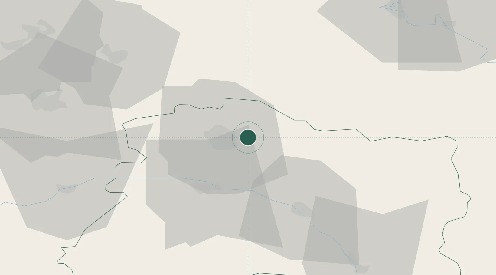
Location
Nearby Logistics Neighbours
Cities
- 1Saint-Léonard5 km
- 2Sillery6 km
- 3Époye7 km
- 4Reims9 km
- 5Verzenay9 km
Ports
- 1Bruxelles180 km
- 2Ghent204 km
- 3Antwerpen219 km
- 4Bruges230 km
- 5Nieuwpoort232 km
Airports
Trade Zones
- 1ZFU Reims12 km
- 2ZFU Presles, Chevreux63 km
- 3ZFU Ronde Couture69 km
- 4ZFU Saint-Dizier87 km
- 5ZFU Le Vermandois Vermand, Fayet, Artois, Champagne95 km
DatabookThe Record of Consolidated Knowledge
France beyond logistics?