Medium airport · France

Lieutenant Étienne Mantoux Air BaseLFQE
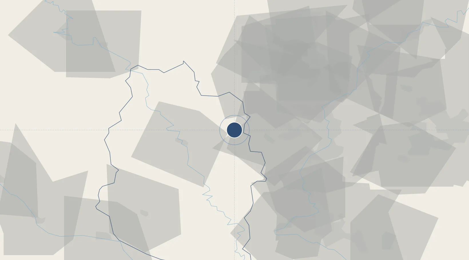
49.2269°, 5.6722°
7,874 ft
Longest runway
2
Runways
770 ft
Elevation

Runway & Layout

Lieutenant Étienne Mantoux Air Base runway & taxiway layout
Runway & taxiway layout — OpenStreetMap (ODbL) / OurAirports

Radio Frequencies

TWR
142.7 MHz
ETAIN TWR
GND
138.1 MHz
APP
120.125 MHz
ETAIN APP
OurAirports

Runways · 2

RunwayDimensions SurfaceTrue headingLit
01/19 7,874 × 148ft Asphalt 014°
02/20 Unknown
OurAirports

Airport Specifications

ICAO code
LFQE
OurAirports
Airport class
Medium airport
OurAirports
Scheduled service
No
OurAirports
Runway surface
Asphalt
OurAirports
Served city
Rouvres-en-Woëvre
OurAirports

Location

Location of LFQE
Natural Earth 10m (public domain) · Meuse · LFQE · 49.23, 5.67GoogleOSMYandex

Nearby Logistics Neighbours

Airports
  1. 1Verdun-Le Rozelier Airfield19 km
  2. 2Metz-Nancy-Lorraine Airport50 km
  3. 3Luxembourg-Findel International Airport59 km
  4. 4Nancy-Essey Airport72 km
  5. 5Nancy-Ochey (BA 133) Air Base75 km
Nearest neighbours — logibook spatial index (haversine) over the source coordinates
Cities
  1. 1Spincourt10 km
  2. 2Conflans-en-Jarnisy15 km
  3. 3Jarny17 km
  4. 4Hatrize17 km
  5. 5Malavillers20 km
Nearest neighbours — logibook spatial index (haversine) over the source coordinates
Ports
  1. 1Bruxelles205 km
  2. 2Antwerpen239 km
  3. 3Ghent247 km
  4. 4Terneuzen270 km
  5. 5Hansweert274 km
Nearest neighbours — logibook spatial index (haversine) over the source coordinates
Trade Zones
  1. 1ZFU Woippy-Metz36 km
  2. 2ZFU Metz38 km
  3. 3Luxembourg Free Port61 km
  4. 4ZFU Maxéville, Laxou, et de Nancy68 km
  5. 5ZFU Saint-Dizier88 km
Nearest neighbours — logibook spatial index (haversine) over the source coordinates
DatabookThe Record of Consolidated Knowledge
France beyond logistics?
Browse databook

All Sources

AirportsOurAirports
Public domain
Portsthe NGA World Port Index
Public domain (US gov)
LocationsUN/LOCODE
UN/LOCODE — free
Trade Zonesthe World Bank SEZ database
CC BY 4.0
Trade ZonesOpen Zone Map
CC BY
InfrastructureOpenStreetMap
ODbL 1.0
← France airports