Transport Functions
Multimodal
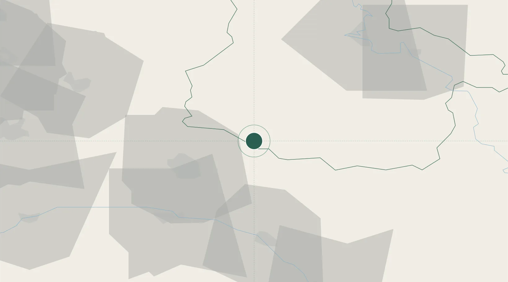
Hub Profile
Place type
Populated place
Region
Grand Est
Population
155
Time zone
Europe/Paris
Elevation
103 m
Location
Nearby Logistics Neighbours
Cities
- 1Époye10 km
- 2Ménil-Annelles13 km
- 3Nogent-l'Abbesse16 km
- 4Sault-lès-Rethel17 km
- 5Nanteuil-sur-Aisne19 km
Airports
Trade Zones
- 1ZFU Reims26 km
- 2ZFU Ronde Couture53 km
- 3ZFU Presles, Chevreux73 km
- 4ZFU Saint-Dizier90 km
- 5ZFU Le Vermandois Vermand, Fayet, Artois, Champagne97 km
DatabookThe Record of Consolidated Knowledge
France beyond logistics?