Economic Revitalization Project · France

ZFU Presles, Chevreux Active
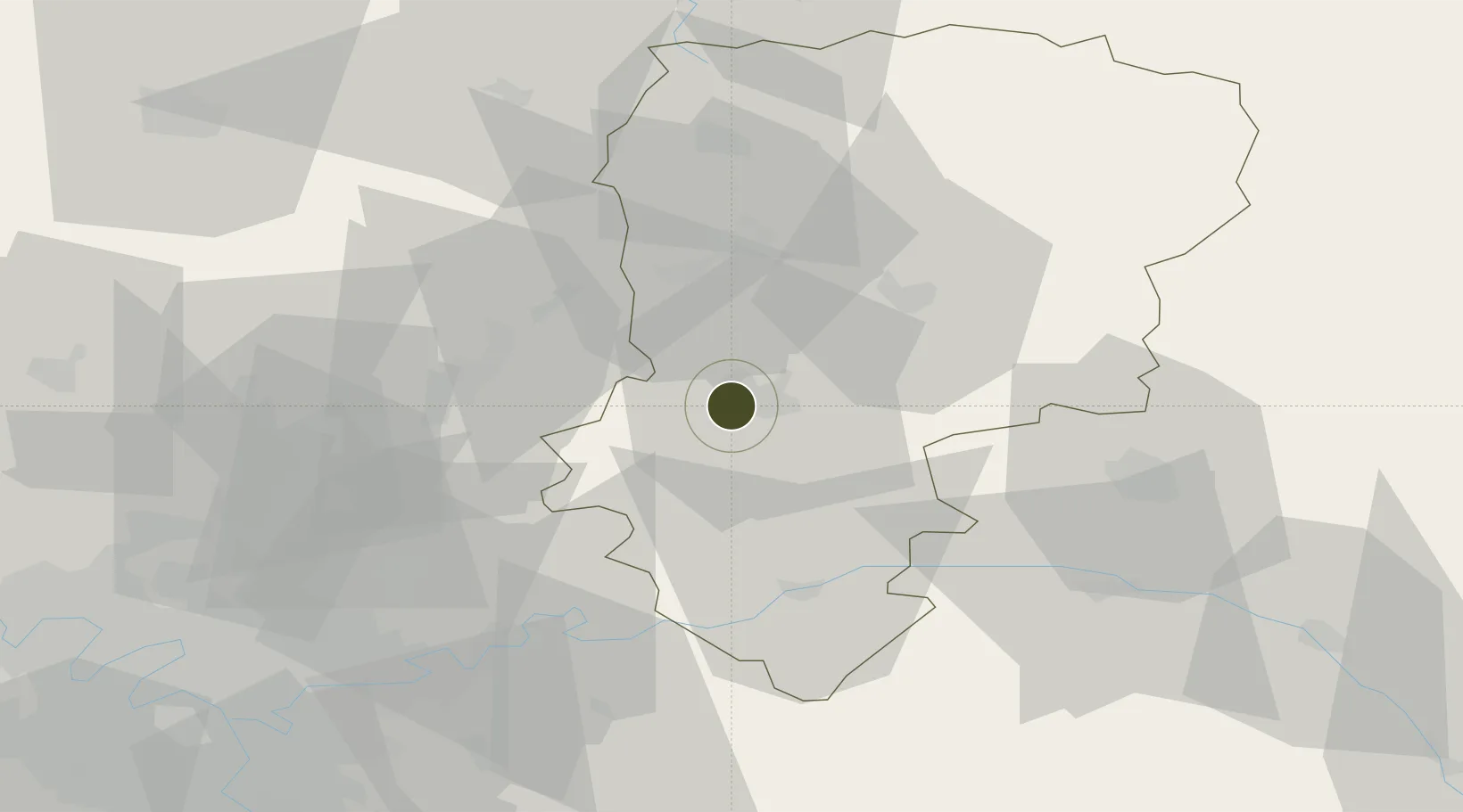
49.3766°, 3.3060°
164 ha
Zone area
150.9 km
Nearest port
58.3 km
Nearest airport

Gateway access

Nearest neighbours — logibook spatial index (haversine) over the source coordinates

Zone profile

Zone type
Economic Revitalization Project
Open Zone Map
Region
Aisne
Open Zone Map
Status
Active
Open Zone Map
Management
Public
Open Zone Map
Operator
Ville de Soissons
Open Zone Map
Legal framework
Décret no 65-939 du 8 novembre 1965, Décret du 9 Octobre 2008
Open Zone Map

Location

Location of ozm-1980
Natural Earth 10m (public domain) · Aisne · ozm-1980 · 49.38, 3.31GoogleOSMYandex

Nearby Logistics Neighbours

Ports
  1. 1Saint-Valery-Sur-Somme151 km
  2. 2Le Treport159 km
  3. 3Port Of Rouen162 km
  4. 4Dieppe172 km
  5. 5Bruxelles182 km
Nearest neighbours — logibook spatial index (haversine) over the source coordinates
Airports
  1. 1Péronne Saint-Quentin Airfield58 km
  2. 2Creil Air Base59 km
  3. 3Charles de Gaulle International Airport68 km
  4. 4Paris-Le Bourget International Airport78 km
  5. 5Amiens Glisy Airfield86 km
Nearest neighbours — logibook spatial index (haversine) over the source coordinates
Cities
  1. 1Soissons1 km
  2. 2Cuffies3 km
  3. 3Ploisy5 km
  4. 4Pernant7 km
  5. 5Épagny11 km
Nearest neighbours — logibook spatial index (haversine) over the source coordinates
Trade Zones
  1. 1ZFU Reims51 km
  2. 2ZFU Le Vermandois Vermand, Fayet, Artois, Champagne53 km
  3. 3ZFU Meaux56 km
  4. 4ZFU Creil et Montataire66 km
  5. 5ZFU Sevran75 km
Nearest neighbours — logibook spatial index (haversine) over the source coordinates
DatabookThe Record of Consolidated Knowledge
France beyond logistics?
Browse databook

All Sources

Trade ZonesOpen Zone Map
CC BY
Portsthe NGA World Port Index
Public domain (US gov)
AirportsOurAirports
Public domain
LocationsUN/LOCODE
UN/LOCODE — free
← France trade zones