Transport Functions
Multimodal
Hub Profile
Place type
Populated place
Region
Grand Est
Population
1,702
Time zone
Europe/Paris
Elevation
89 m
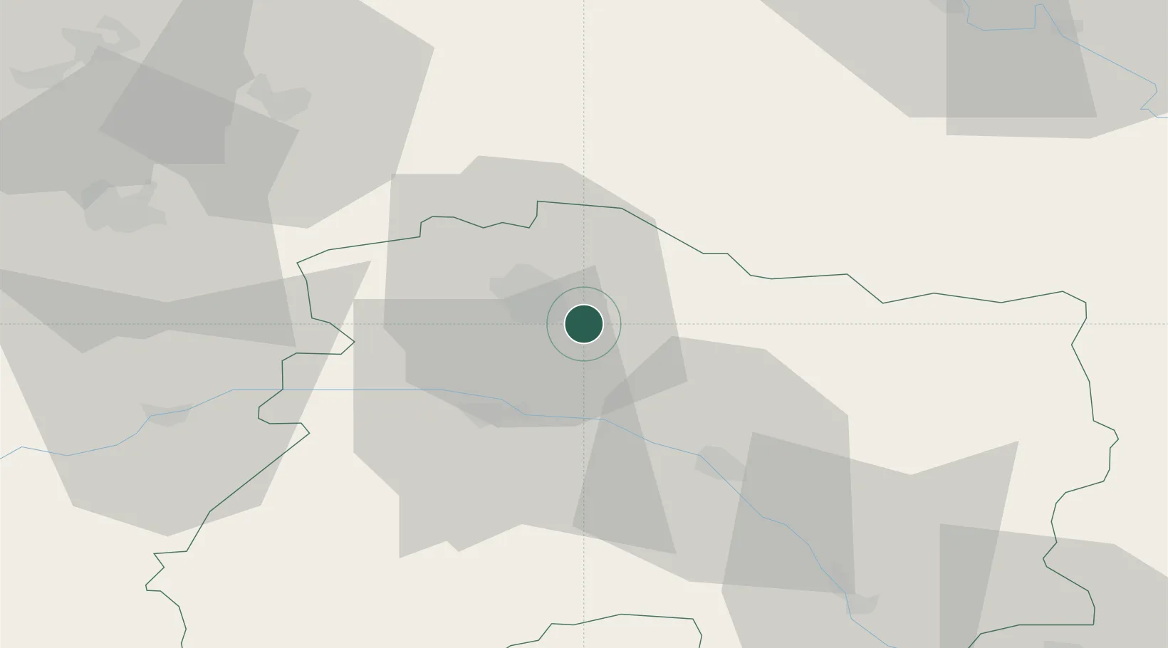
Location
Nearby Logistics Neighbours
Cities
- 1Saint-Léonard3 km
- 2Verzenay4 km
- 3Nogent-l'Abbesse6 km
- 4Mailly-Champagne6 km
- 5Ludes7 km
Ports
- 1Bruxelles186 km
- 2Ghent210 km
- 3Antwerpen225 km
- 4Bruges235 km
- 5Nieuwpoort237 km
Airports
Trade Zones
- 1ZFU Reims12 km
- 2ZFU Presles, Chevreux63 km
- 3ZFU Ronde Couture74 km
- 4ZFU Saint-Dizier83 km
- 5ZFU Meaux95 km
DatabookThe Record of Consolidated Knowledge
France beyond logistics?