Medium airport · France

Charleville-Mézières Ardennes-Etienne Riché AirfieldLFQV
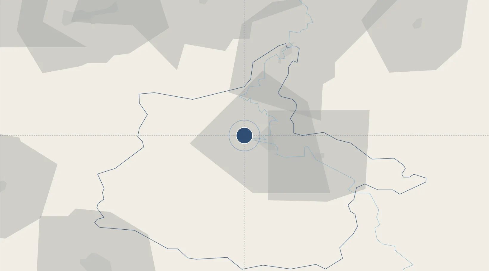
49.7839°, 4.6471°
4,921 ft
Longest runway
1
Runways
492 ft
Elevation

Runway & Layout

Charleville-Mézières Ardennes-Etienne Riché Airfield runway & taxiway layout
Runway & taxiway layout — OpenStreetMap (ODbL) / OurAirports

Radio Frequencies

AFIS
119 MHz
INFO
OurAirports

Runways · 1

RunwayDimensions SurfaceTrue headingLit
11/29 4,921 × 98ft Asphalt 112°
OurAirports

Airport Specifications

ICAO code
LFQV
OurAirports
Airport class
Medium airport
OurAirports
Scheduled service
No
OurAirports
Runway surface
Asphalt
OurAirports
Served city
Charleville-Mézières
OurAirports

Location

Location of LFQV
Natural Earth 10m (public domain) · Ardennes · LFQV · 49.78, 4.65GoogleOSMYandex

Nearby Logistics Neighbours

Airports
  1. 1Florennes Air Base51 km
  2. 2Brussels South Charleroi Airport77 km
  3. 3Verdun-Le Rozelier Airfield95 km
  4. 4Lieutenant Étienne Mantoux Air Base97 km
  5. 5Valenciennes-Denain Airfield104 km
Nearest neighbours — logibook spatial index (haversine) over the source coordinates
Cities
  1. 1Ham-les-Moines4 km
  2. 2Charleville-Mézières5 km
  3. 3Nouzonville8 km
  4. 4Lumes11 km
  5. 5Rouvroy-sur-Audry12 km
Nearest neighbours — logibook spatial index (haversine) over the source coordinates
Ports
  1. 1Bruxelles122 km
  2. 2Ghent157 km
  3. 3Antwerpen160 km
  4. 4Terneuzen184 km
  5. 5Bruges190 km
Nearest neighbours — logibook spatial index (haversine) over the source coordinates
Trade Zones
  1. 1ZFU Ronde Couture7 km
  2. 2ZFU Maubeuge, Louvroil73 km
  3. 3ZFU Reims76 km
  4. 4ZFU Le Vermandois Vermand, Fayet, Artois, Champagne103 km
  5. 5ZFU Presles, Chevreux107 km
Nearest neighbours — logibook spatial index (haversine) over the source coordinates
DatabookThe Record of Consolidated Knowledge
France beyond logistics?
Browse databook

All Sources

AirportsOurAirports
Public domain
Portsthe NGA World Port Index
Public domain (US gov)
LocationsUN/LOCODE
UN/LOCODE — free
Trade Zonesthe World Bank SEZ database
CC BY 4.0
Trade ZonesOpen Zone Map
CC BY
InfrastructureOpenStreetMap
ODbL 1.0
← France airports