Economic Revitalization Project · France
ZFU Le Vermandois Vermand, Fayet, Artois, Champagne Active
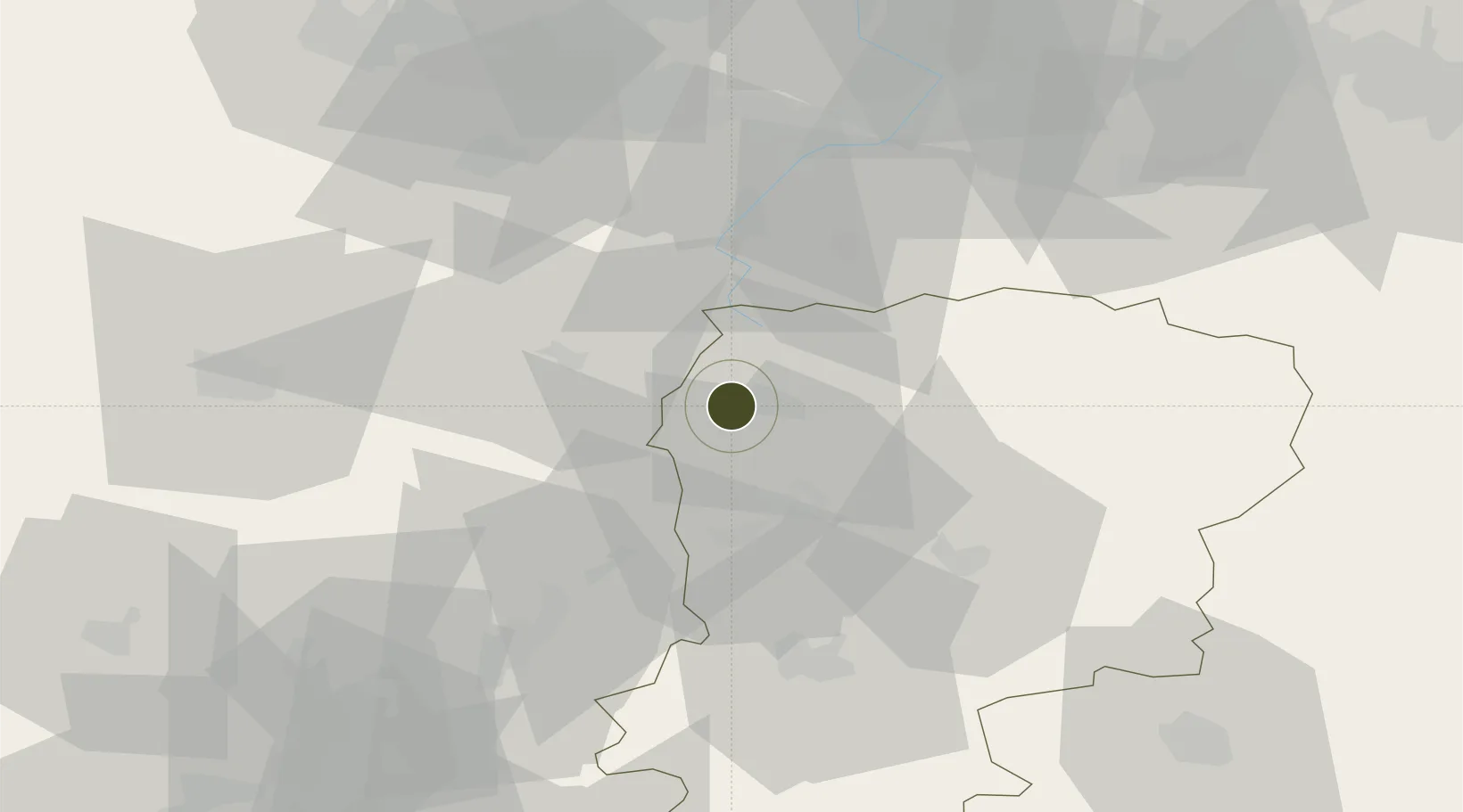
49.8476°, 3.2090°
40 ha
Zone area
119.7 km
Nearest port
13.1 km
Nearest airport
Gateway access
Zone profile
Zone type
Economic Revitalization Project
Region
Aisne
Status
Active
Management
Public
Operator
Saint Quentin
Legal framework
Décret no 65-939 du 8 novembre 1965, Décret du 9 Octobre 2008
Location
Nearby Logistics Neighbours
Ports
- 1Saint-Valery-Sur-Somme120 km
- 2Le Treport134 km
- 3Bruxelles139 km
- 4Ghent141 km
- 5Nieuwpoort147 km
Airports
- 1Péronne Saint-Quentin Airfield13 km
- 2Valenciennes-Denain Airfield56 km
- 3Amiens Glisy Airfield59 km
- 4Lille Airport80 km
- 5Creil Air Base83 km
Cities
- 1Holnon2 km
- 2Dallon4 km
- 3Vermand5 km
- 4Saint-Quentin5 km
- 5Lesdins6 km
DatabookThe Record of Consolidated Knowledge
France beyond logistics?