Economic Revitalization Project · France
ZFU Chenôve Active
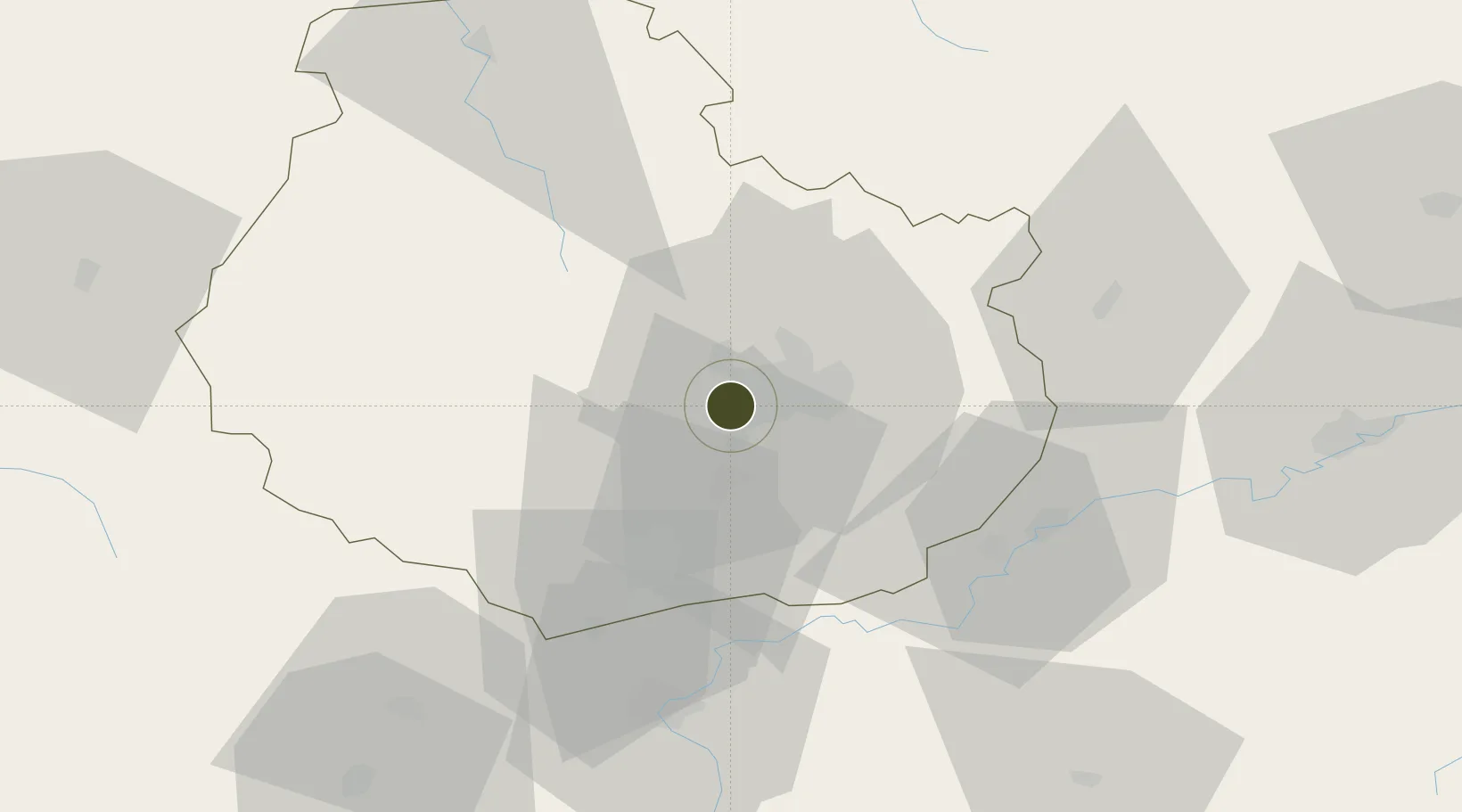
47.2911°, 4.9826°
117 ha
Zone area
375.8 km
Nearest port
8.5 km
Nearest airport
Gateway access
Zone profile
Zone type
Economic Revitalization Project
Region
Côte-d'Or
Status
Active
Management
Public
Operator
Ville de Chenove
Legal framework
Décret no 65-939 du 8 novembre 1965, Décret du 9 Octobre 2008
Location
Nearby Logistics Neighbours
Ports
- 1Port Of Rouen376 km
- 2Bruxelles400 km
- 3Saint-Valery-Sur-Somme405 km
- 4Le Treport407 km
- 5Dieppe410 km
Airports
- 1Dijon Longvic airport9 km
- 2Dole Tavaux Airport44 km
- 3Vesoul-Frotey Airfield100 km
- 4Mâcon-Charnay Airfield112 km
- 5Luxeuil-Saint-Sauveur (BA 116) Air Base117 km
Cities
- 1Talant3 km
- 2Plombières-lès-Dijon5 km
- 3Dijon5 km
- 4Flavignerot5 km
- 5Perrigny-lès-Dijon5 km
Trade Zones
DatabookThe Record of Consolidated Knowledge
France beyond logistics?