Transport Functions
Rail
Road
Hub Profile
Place type
Populated place
Region
Grand Est
Population
114
Time zone
Europe/Paris
Elevation
133 m
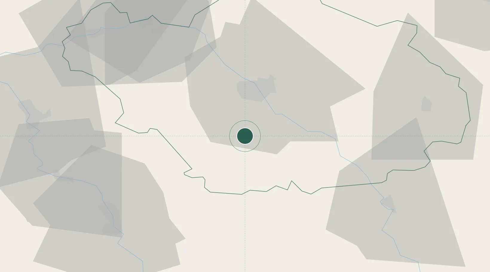
Location
Nearby Logistics Neighbours
Cities
- 1Chamoy7 km
- 2Saint-Thibault10 km
- 3Chaource10 km
- 4Moussey10 km
- 5Vaudes10 km
Ports
- 1Bruxelles305 km
- 2Ghent327 km
- 3Antwerpen344 km
- 4Nieuwpoort347 km
- 5Gravelines348 km
Airports
Trade Zones
DatabookThe Record of Consolidated Knowledge
France beyond logistics?