Medium airport · France
Dijon Longvic airportLFSD
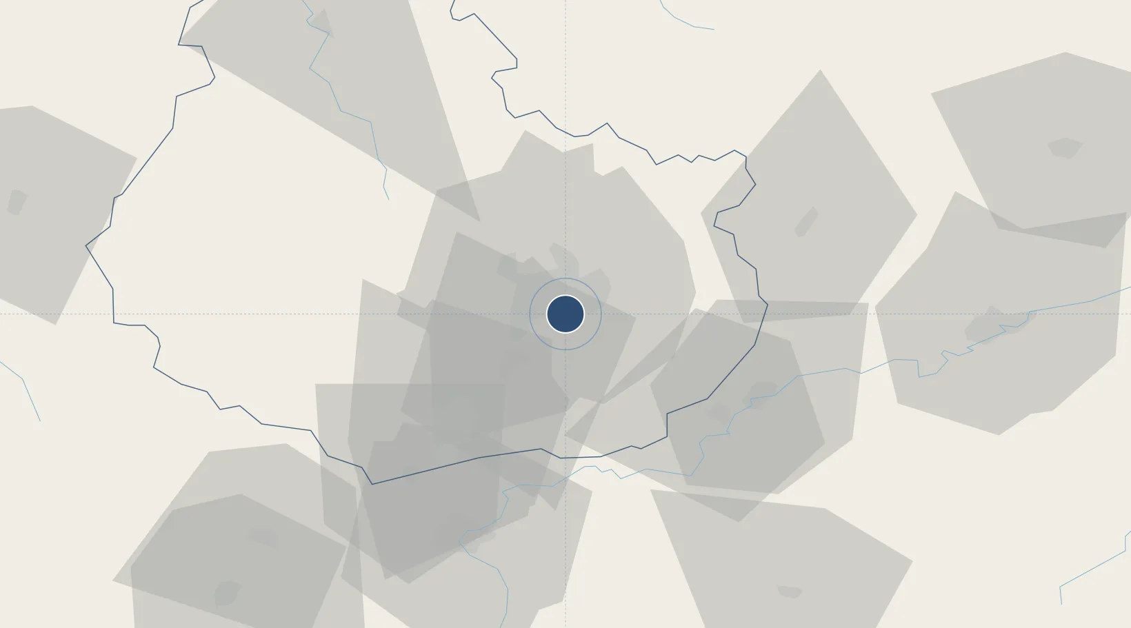
47.2689°, 5.0900°
7,874 ft
Longest runway
2
Runways
726 ft
Elevation
Runway & Layout

Radio Frequencies
TWR
118.325 MHz
DIJON TWR
GND
122.1 MHz
DIJON GND
A/D
142.45 MHz
DIJON APP
AFIS
118.325 MHz
DIJON INFO
Navaids
DIJ TACAN Dijon 113.50 MHz
DJL VOR-DME Dijon 111.45 MHz
Runways · 2
| Runway | Dimensions | Surface | True heading | Lit |
|---|---|---|---|---|
| 17/35 | 7,874 × 148ft | Asphalt | 175° | ✓ |
| 01/19 | 5,905 × 118ft | Asphalt | 015° | — |
Airport Specifications
IATA code
DIJ
ICAO code
LFSD
Airport class
Medium airport
Scheduled service
Yes
Runway surface
Asphalt
Served city
Dijon
Location
Nearby Logistics Neighbours
Airports
- 1Dole Tavaux Airport36 km
- 2Vesoul-Frotey Airfield93 km
- 3Mâcon-Charnay Airfield111 km
- 4Luxeuil-Saint-Sauveur (BA 116) Air Base111 km
- 5Saint-Yan Airport125 km
Cities
- 1Neuilly-lès-Dijon2 km
- 2Crimolois2 km
- 3Fénay4 km
- 4Fauverney5 km
- 5Dijon6 km
Ports
- 1Port Of Rouen384 km
- 2Bruxelles404 km
- 3Saint-Valery-Sur-Somme412 km
- 4Le Treport414 km
- 5Dieppe418 km
Trade Zones
- 1ZFU Chenôve9 km
- 2ZFU Besancon69 km
- 3PESA - Port-Franc et Entrepôts de Lausanne-Chavornay SA128 km
- 4ZFU Montbéliard130 km
- 5ZFU Belfort136 km
DatabookThe Record of Consolidated Knowledge
France beyond logistics?