Transport Functions
Rail
Road
Hub Profile
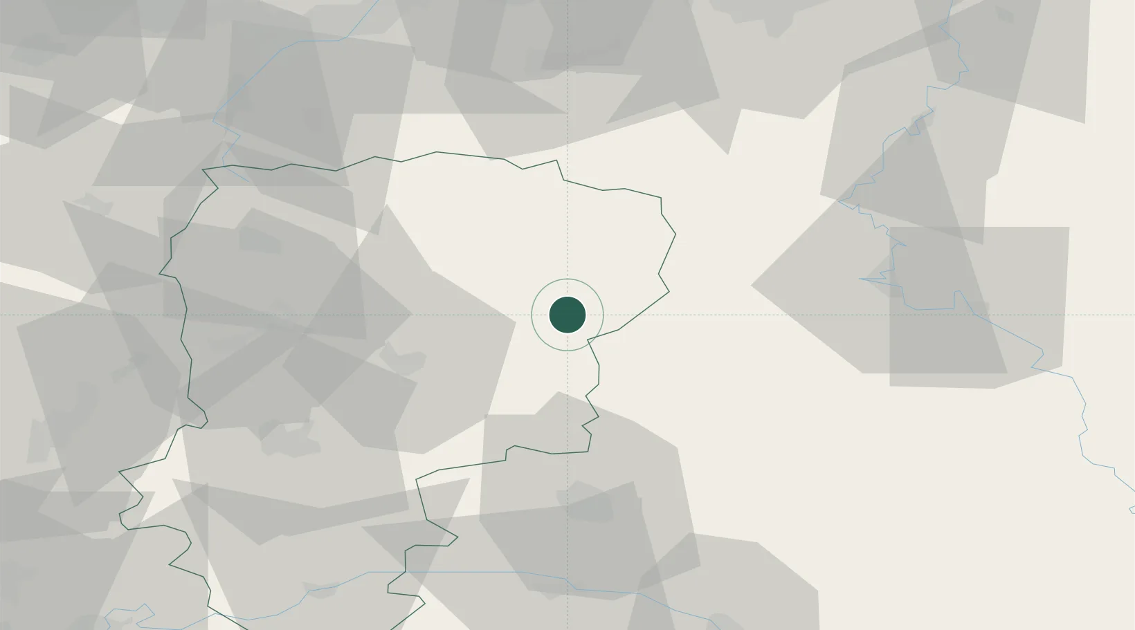
Place type
Populated place
Region
Hauts-de-France
Population
1,714
Time zone
Europe/Paris
Elevation
123 m
Location
Nearby Logistics Neighbours
Cities
- 1Sainte-Geneviève6 km
- 2Parfondeval13 km
- 3Fontaine-lès-Vervins20 km
- 4Saint-Erme-Outre-et-Ramecourt21 km
- 5Sains-Richaumont26 km
Ports
- 1Bruxelles134 km
- 2Ghent155 km
- 3Antwerpen173 km
- 4Bruges181 km
- 5Nieuwpoort184 km
Airports
Trade Zones
- 1ZFU Reims48 km
- 2ZFU Ronde Couture52 km
- 3ZFU Le Vermandois Vermand, Fayet, Artois, Champagne60 km
- 4ZFU Presles, Chevreux61 km
- 5ZFU Maubeuge, Louvroil64 km
DatabookThe Record of Consolidated Knowledge
France beyond logistics?