UN/LOCODE hub · France
FRTEM

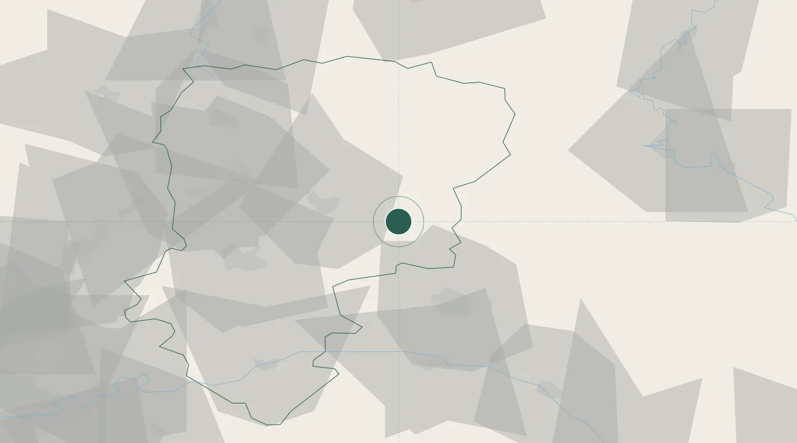
Saint-Erme-Outre-et-Ramecourt

49.5167°, 3.8667°
1,885
Population
2
Transport functions

Transport Functions

Rail
Road
UN/LOCODE

Hub Profile

Place type
Populated place
GeoNames
Region
Hauts-de-France
GeoNames
Population
1,885
GeoNames
Time zone
Europe/Paris
GeoNames
Elevation
129 m
GeoNames

Location

Location of FRTEM
Natural Earth 10m (public domain) · Hauts-de-France · FRTEM · 49.52, 3.87GoogleOSMYandex

Nearby Logistics Neighbours

Cities
  1. 1Pontavert14 km
  2. 2Cormicy17 km
  3. 3Laon18 km
  4. 4Cauroy-lès-Hermonville19 km
  5. 5Auménancourt20 km
Nearest neighbours — logibook spatial index (haversine) over the source coordinates
Ports
  1. 1Bruxelles154 km
  2. 2Ghent173 km
  3. 3Saint-Valery-Sur-Somme178 km
  4. 4Le Treport190 km
  5. 5Antwerpen193 km
Nearest neighbours — logibook spatial index (haversine) over the source coordinates
Airports
  1. 1Charleville-Mézières Ardennes-Etienne Riché Airfield64 km
  2. 2Péronne Saint-Quentin Airfield72 km
  3. 3Chalons Vatry airport86 km
  4. 4Valenciennes-Denain Airfield95 km
  5. 5Florennes Air Base98 km
Nearest neighbours — logibook spatial index (haversine) over the source coordinates
Trade Zones
  1. 1ZFU Reims31 km
  2. 2ZFU Presles, Chevreux43 km
  3. 3ZFU Le Vermandois Vermand, Fayet, Artois, Champagne60 km
  4. 4ZFU Ronde Couture66 km
  5. 5ZFU Maubeuge, Louvroil83 km
Nearest neighbours — logibook spatial index (haversine) over the source coordinates
DatabookThe Record of Consolidated Knowledge
France beyond logistics?
Browse databook

All Sources

LocationsUN/LOCODE
UN/LOCODE — free
LocationsGeoNames
CC BY 4.0
Portsthe NGA World Port Index
Public domain (US gov)
AirportsOurAirports
Public domain
Trade Zonesthe World Bank SEZ database
CC BY 4.0
Trade ZonesOpen Zone Map
CC BY
← France locations