Transport Functions
Rail
Road
Hub Profile
Place type
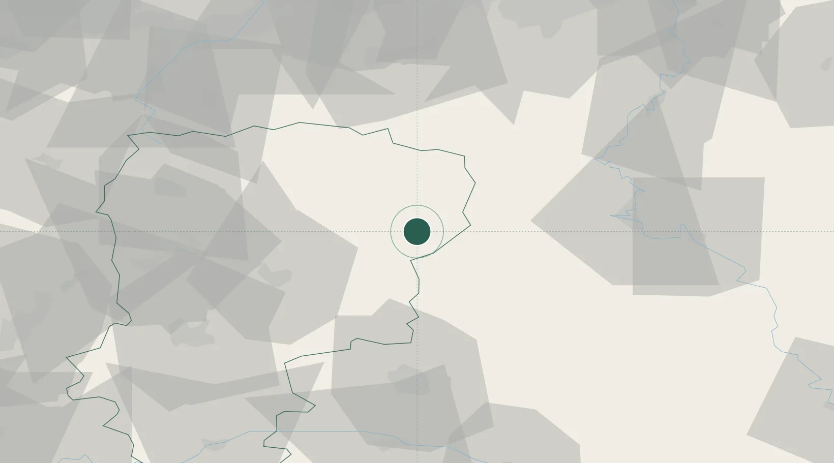
Populated place
Region
Hauts-de-France
Population
65
Time zone
Europe/Paris
Elevation
142 m
Location
Nearby Logistics Neighbours
Cities
- 1Montcornet6 km
- 2Parfondeval7 km
- 3Fontaine-lès-Vervins19 km
- 4Saint-Erme-Outre-et-Ramecourt27 km
- 5Nanteuil-sur-Aisne28 km
Airports
Trade Zones
- 1ZFU Ronde Couture47 km
- 2ZFU Reims52 km
- 3ZFU Maubeuge, Louvroil61 km
- 4ZFU Le Vermandois Vermand, Fayet, Artois, Champagne63 km
- 5ZFU Presles, Chevreux67 km
DatabookThe Record of Consolidated Knowledge
France beyond logistics?