Medium airport · France
Péronne Saint-Quentin AirfieldLFAG
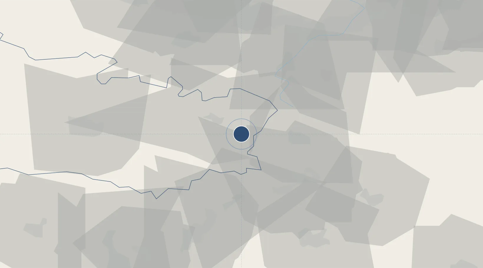
49.8689°, 3.0296°
4,560 ft
Longest runway
1
Runways
295 ft
Elevation
Runway & Layout

Runways · 1
| Runway | Dimensions | Surface | True heading | Lit |
|---|---|---|---|---|
| 09/27 | 4,560 × 98ft | Asphalt | 091° | — |
Airport Specifications
ICAO code
LFAG
Airport class
Medium airport
Scheduled service
No
Runway surface
Asphalt
Served city
Monchy-Lagache, Somme
Location
Nearby Logistics Neighbours
Airports
- 1Amiens Glisy Airfield46 km
- 2Valenciennes-Denain Airfield60 km
- 3Creil Air Base78 km
- 4Lille Airport78 km
- 5Beauvais-Tillé airport81 km
Cities
- 1Saint-Christ-Briost7 km
- 2Vermand9 km
- 3Biaches10 km
- 4Roisel10 km
- 5Barleux11 km
Ports
- 1Saint-Valery-Sur-Somme107 km
- 2Le Treport121 km
- 3Dieppe140 km
- 4Boulogne-Sur-Mer140 km
- 5Gravelines141 km
Trade Zones
DatabookThe Record of Consolidated Knowledge
France beyond logistics?