Medium airport · Belgium

Florennes Air BaseEBFS
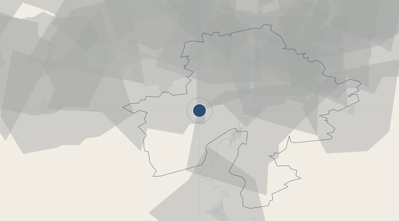
50.2433°, 4.6458°
11,105 ft
Longest runway
2
Runways
935 ft
Elevation

Runway & Layout

Florennes Air Base runway & taxiway layout
Runway & taxiway layout — OpenStreetMap (ODbL) / OurAirports

Radio Frequencies

TWR
122.1 MHz
GND
122.1 MHz
APP
122.5 MHz
GCA
123.3 MHz
OurAirports

Navaids

BFS TACAN Florennes 111.50 MHz
OurAirports

Runways · 2

RunwayDimensions SurfaceTrue headingLit
08L/26R 11,105 × 148ft Asphalt 079°
08R/26L 7,381 × 74ft Asphalt 080°
OurAirports

Airport Specifications

ICAO code
EBFS
OurAirports
Airport class
Medium airport
OurAirports
Scheduled service
No
OurAirports
Runway surface
Asphalt
OurAirports
Served city
Florennes
OurAirports

Location

Location of EBFS
Natural Earth 10m (public domain) · Namur · EBFS · 50.24, 4.65GoogleOSMYandex

Nearby Logistics Neighbours

Airports
  1. 1Brussels South Charleroi Airport28 km
  2. 2Charleville-Mézières Ardennes-Etienne Riché Airfield51 km
  3. 3Beauvechain Air Base58 km
  4. 4Chièvres Air Base69 km
  5. 5Liège Airport72 km
Nearest neighbours — logibook spatial index (haversine) over the source coordinates
Cities
  1. 1Merlemont7 km
  2. 2Hermeton-sur-Meuse13 km
  3. 3Hastière-par-delà14 km
  4. 4Warnant16 km
  5. 5Les Trois-Fontaines16 km
Nearest neighbours — logibook spatial index (haversine) over the source coordinates
Ports
  1. 1Bruxelles72 km
  2. 2Antwerpen110 km
  3. 3Ghent112 km
  4. 4Terneuzen136 km
  5. 5Hansweert142 km
Nearest neighbours — logibook spatial index (haversine) over the source coordinates
Trade Zones
  1. 1ZFU Maubeuge, Louvroil51 km
  2. 2ZFU Ronde Couture55 km
  3. 3ZFU Condé sur lEscaut80 km
  4. 4ZFU Denain, Douchy-les-Mines, Escaudain et Lourches90 km
  5. 5ZFU Le Vermandois Vermand, Fayet, Artois, Champagne112 km
Nearest neighbours — logibook spatial index (haversine) over the source coordinates
DatabookThe Record of Consolidated Knowledge
Belgium beyond logistics?
Browse databook

All Sources

AirportsOurAirports
Public domain
Portsthe NGA World Port Index
Public domain (US gov)
LocationsUN/LOCODE
UN/LOCODE — free
Trade Zonesthe World Bank SEZ database
CC BY 4.0
Trade ZonesOpen Zone Map
CC BY
InfrastructureOpenStreetMap
ODbL 1.0
← Belgium airports