UN/LOCODE hub · France
FRFVN

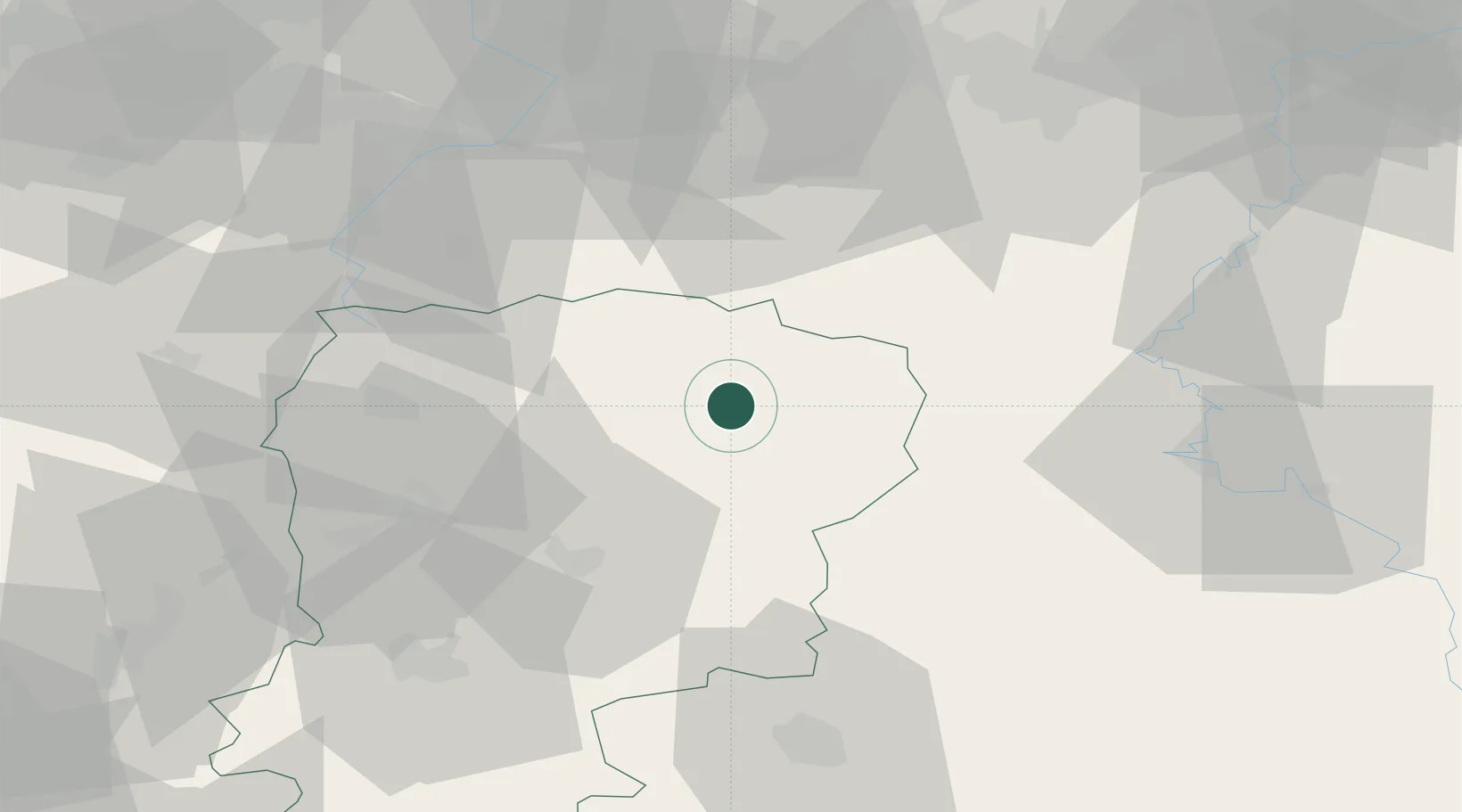
Fontaine-lès-Vervins

49.8500°, 3.9000°
923
Population
3
Transport functions

Transport Functions

Rail
Road
Multimodal
UN/LOCODE

Hub Profile

Place type
Populated place
GeoNames
Region
Hauts-de-France
GeoNames
Population
923
GeoNames
Time zone
Europe/Paris
GeoNames
Elevation
180 m
GeoNames

Location

Location of FRFVN
Natural Earth 10m (public domain) · Hauts-de-France · FRFVN · 49.85, 3.90GoogleOSMYandex

Nearby Logistics Neighbours

Cities
  1. 1Buironfosse14 km
  2. 2Sains-Richaumont15 km
  3. 3Sainte-Geneviève19 km
  4. 4Le Nouvion-en-Thiérache19 km
  5. 5Montcornet20 km
Nearest neighbours — logibook spatial index (haversine) over the source coordinates
Ports
  1. 1Bruxelles118 km
  2. 2Ghent136 km
  3. 3Antwerpen156 km
  4. 4Bruges161 km
  5. 5Nieuwpoort164 km
Nearest neighbours — logibook spatial index (haversine) over the source coordinates
Airports
  1. 1Charleville-Mézières Ardennes-Etienne Riché Airfield54 km
  2. 2Valenciennes-Denain Airfield62 km
  3. 3Péronne Saint-Quentin Airfield62 km
  4. 4Florennes Air Base69 km
  5. 5Brussels South Charleroi Airport79 km
Nearest neighbours — logibook spatial index (haversine) over the source coordinates
Trade Zones
  1. 1ZFU Maubeuge, Louvroil46 km
  2. 2ZFU Le Vermandois Vermand, Fayet, Artois, Champagne50 km
  3. 3ZFU Ronde Couture60 km
  4. 4ZFU Denain, Douchy-les-Mines, Escaudain et Lourches63 km
  5. 5ZFU Reims67 km
Nearest neighbours — logibook spatial index (haversine) over the source coordinates
DatabookThe Record of Consolidated Knowledge
France beyond logistics?
Browse databook

All Sources

LocationsUN/LOCODE
UN/LOCODE — free
LocationsGeoNames
CC BY 4.0
Portsthe NGA World Port Index
Public domain (US gov)
AirportsOurAirports
Public domain
Trade Zonesthe World Bank SEZ database
CC BY 4.0
Trade ZonesOpen Zone Map
CC BY
← France locations