Transport Functions
Multimodal
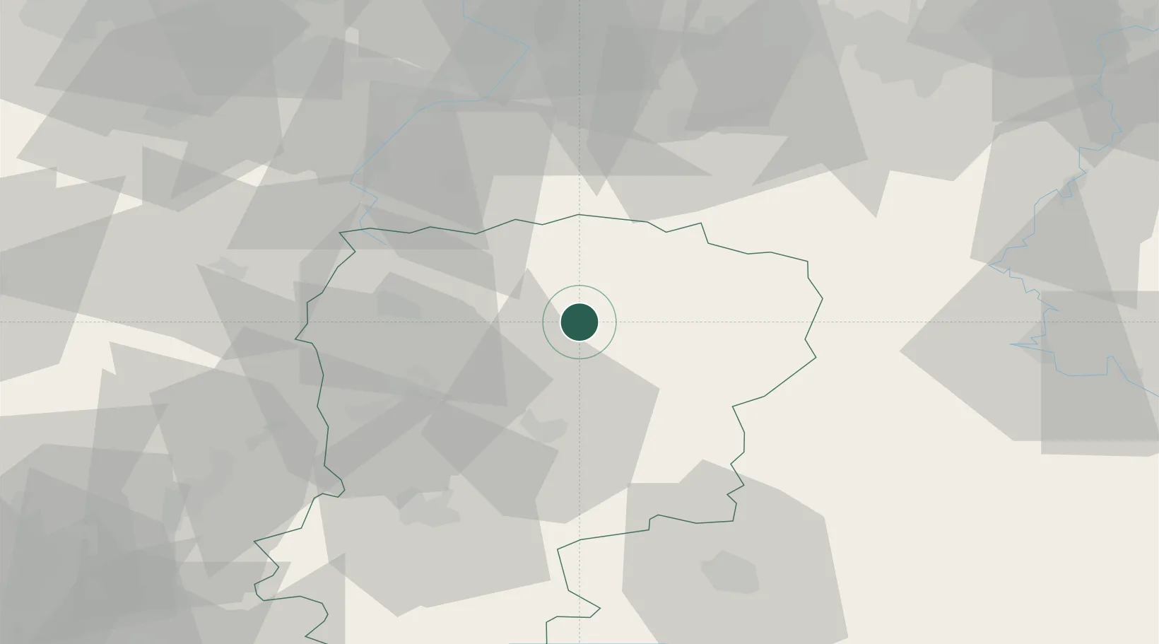
Hub Profile
Place type
Populated place
Region
Hauts-de-France
Population
970
Time zone
Europe/Paris
Elevation
141 m
Location
Nearby Logistics Neighbours
Cities
- 1Origny-Sainte-Benoite15 km
- 2Fontaine-lès-Vervins15 km
- 3Vadencourt16 km
- 4Ribemont18 km
- 5Buironfosse19 km
Ports
- 1Bruxelles126 km
- 2Ghent139 km
- 3Saint-Valery-Sur-Somme154 km
- 4Nieuwpoort161 km
- 5Bruges161 km
Airports
Trade Zones
DatabookThe Record of Consolidated Knowledge
France beyond logistics?