Medium airport · France

Valenciennes-Denain AirfieldLFAV
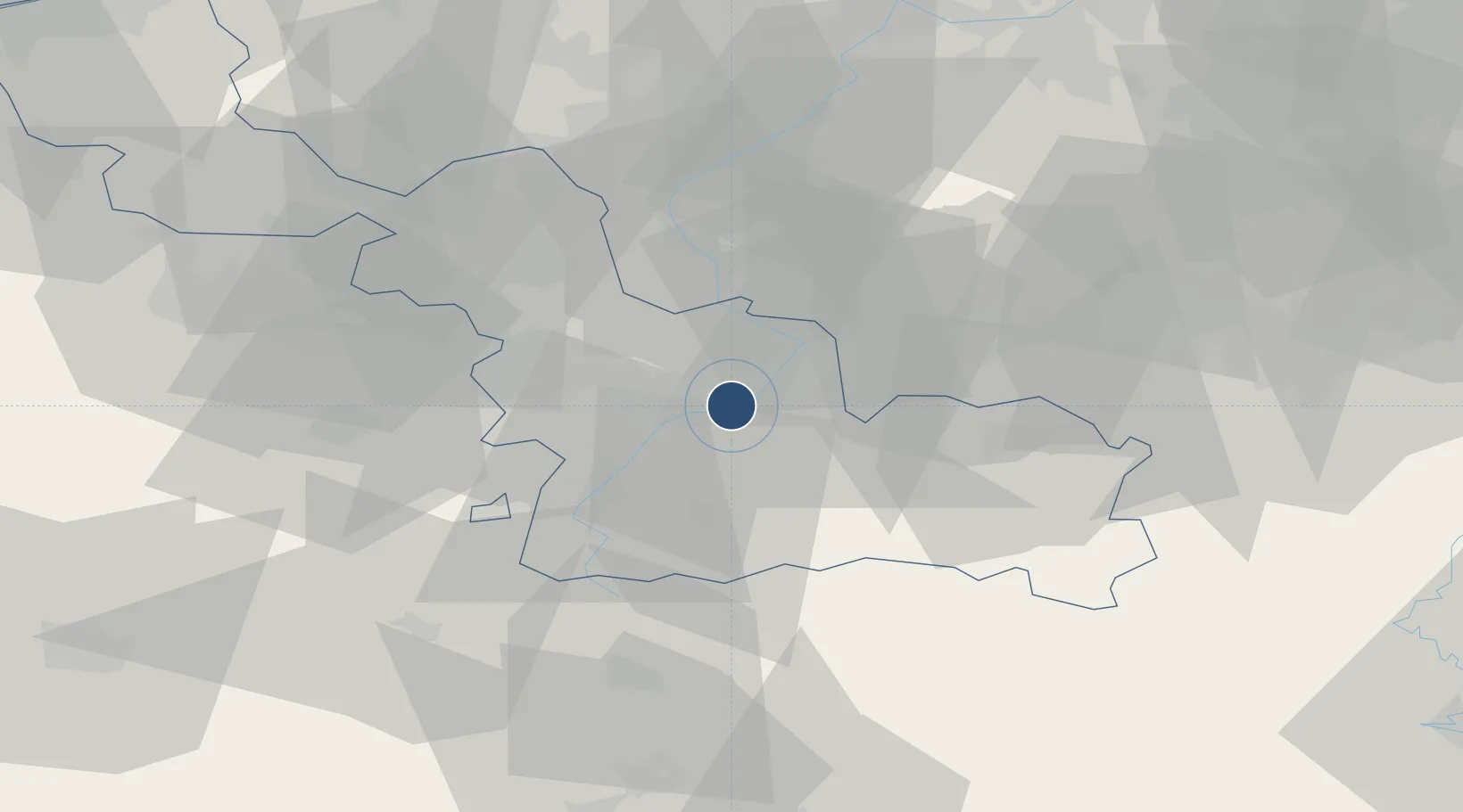
50.3278°, 3.4611°
5,604 ft
Longest runway
3
Runways
165 ft
Elevation

Runway & Layout

Valenciennes-Denain Airfield runway & taxiway layout
Runway & taxiway layout — OpenStreetMap (ODbL) / OurAirports

Radio Frequencies

APP
126.475 MHz
LILLE APP
AFIS
122.6 MHz
VALENCIENNES INFO
OurAirports

Runways · 3

RunwayDimensions SurfaceTrue headingLit
11/29 5,604 × 148ft Asphalt 110°
06/24 2,051 × 164ft Grass
11L/29R 2,034 × 164ft GRASS
OurAirports

Airport Specifications

ICAO code
LFAV
OurAirports
Airport class
Medium airport
OurAirports
Scheduled service
No
OurAirports
Runway surface
Asphalt
OurAirports
Served city
Prouvy
OurAirports

Location

Location of LFAV
Natural Earth 10m (public domain) · Nord · LFAV · 50.33, 3.46GoogleOSMYandex

Nearby Logistics Neighbours

Airports
  1. 1Lille Airport37 km
  2. 2Chièvres Air Base38 km
  3. 3Flanders International Airport Kortrijk-Wevelgem57 km
  4. 4Péronne Saint-Quentin Airfield60 km
  5. 5Merville-Calonne Airport66 km
Nearest neighbours — logibook spatial index (haversine) over the source coordinates
Cities
  1. 1Thiant3 km
  2. 2Denain5 km
  3. 3Aulnoy5 km
  4. 4Marly5 km
  5. 5Wallers6 km
Nearest neighbours — logibook spatial index (haversine) over the source coordinates
Ports
  1. 1Ghent84 km
  2. 2Bruxelles87 km
  3. 3Bruges102 km
  4. 4Nieuwpoort103 km
  5. 5Oostende108 km
Nearest neighbours — logibook spatial index (haversine) over the source coordinates
DatabookThe Record of Consolidated Knowledge
France beyond logistics?
Browse databook

All Sources

AirportsOurAirports
Public domain
Portsthe NGA World Port Index
Public domain (US gov)
LocationsUN/LOCODE
UN/LOCODE — free
Trade Zonesthe World Bank SEZ database
CC BY 4.0
Trade ZonesOpen Zone Map
CC BY
InfrastructureOpenStreetMap
ODbL 1.0
← France airports