Transport Functions
Multimodal
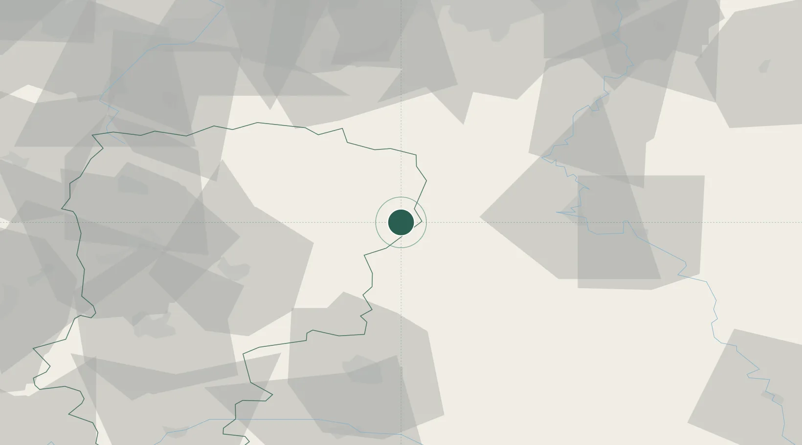
Hub Profile
Place type
Populated place
Region
Hauts-de-France
Population
157
Time zone
Europe/Paris
Elevation
213 m
Location
Nearby Logistics Neighbours
Cities
- 1Sainte-Geneviève7 km
- 2Montcornet13 km
- 3Fontaine-lès-Vervins23 km
- 4Rouvroy-sur-Audry23 km
- 5Nanteuil-sur-Aisne26 km
Airports
Trade Zones
- 1ZFU Ronde Couture40 km
- 2ZFU Reims55 km
- 3ZFU Maubeuge, Louvroil61 km
- 4ZFU Le Vermandois Vermand, Fayet, Artois, Champagne70 km
- 5ZFU Presles, Chevreux74 km
DatabookThe Record of Consolidated Knowledge
France beyond logistics?