Medium airport · France

Deauville Normandie airportLFRG
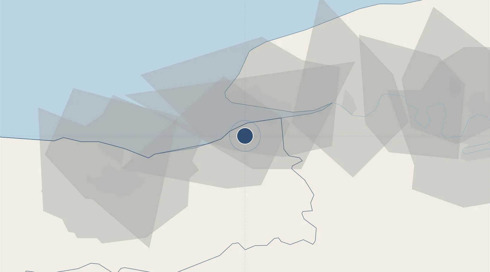
49.3652°, 0.1545°
8,366 ft
Longest runway
1
Runways
479 ft
Elevation

Runway & Layout

Deauville Normandie airport runway & taxiway layout
Runway & taxiway layout — OpenStreetMap (ODbL) / OurAirports

Radio Frequencies

ATIS
136.15 MHz
TWR
118.3 MHz
DEAUVILLE TWR
APP
120.35 MHz
DEAUVILLE APP
INFO
119.825 MHz
DEAUVILLE INFO
OurAirports

Navaids

DVL VOR Deauville 110.20 MHz
OurAirports

Runways · 1

RunwayDimensions SurfaceTrue headingLit
12/30 8,366 × 148ft Asphalt 117°
OurAirports

Airport Specifications

IATA code
DOL
OurAirports
ICAO code
LFRG
OurAirports
Airport class
Medium airport
OurAirports
Scheduled service
Yes
OurAirports
Runway surface
Asphalt
OurAirports
Served city
Deauville
OurAirports

Location

Location of LFRG
Natural Earth 10m (public domain) · Calvados · LFRG · 49.37, 0.15GoogleOSMYandex

Nearby Logistics Neighbours

Airports
  1. 1Le Havre-Octeville Airport19 km
  2. 2Caen Carpiquet airport49 km
  3. 3Rouen Vallée de Seine Airport74 km
  4. 4Évreux-Fauville (BA 105) Air Base86 km
  5. 5Cherbourg Manche airport122 km
Nearest neighbours — logibook spatial index (haversine) over the source coordinates
Cities
  1. 1Villerville4 km
  2. 2Trouville-sur-Mer5 km
  3. 3Deauville6 km
  4. 4Coudray-Rabut7 km
  5. 5Honfleur8 km
Nearest neighbours — logibook spatial index (haversine) over the source coordinates
Ports
  1. 1Deauville5 km
  2. 2Honfleur7 km
  3. 3Port Of Le Havre13 km
  4. 4Ouistreham31 km
  5. 5Port De Caen42 km
Nearest neighbours — logibook spatial index (haversine) over the source coordinates
Trade Zones
  1. 1ZFU Le Havre15 km
  2. 2ZFU Hérouville-Saint-Clair41 km
  3. 3ZFU La Guérinière, La Grâce de Dieu45 km
  4. 4ZFU Rouen Bihorel69 km
  5. 5ZFU Évreux82 km
Nearest neighbours — logibook spatial index (haversine) over the source coordinates
DatabookThe Record of Consolidated Knowledge
France beyond logistics?
Browse databook

All Sources

AirportsOurAirports
Public domain
Portsthe NGA World Port Index
Public domain (US gov)
LocationsUN/LOCODE
UN/LOCODE — free
Trade Zonesthe World Bank SEZ database
CC BY 4.0
Trade ZonesOpen Zone Map
CC BY
InfrastructureOpenStreetMap
ODbL 1.0
← France airports