Transport Functions
Road
Multimodal
Hub Profile
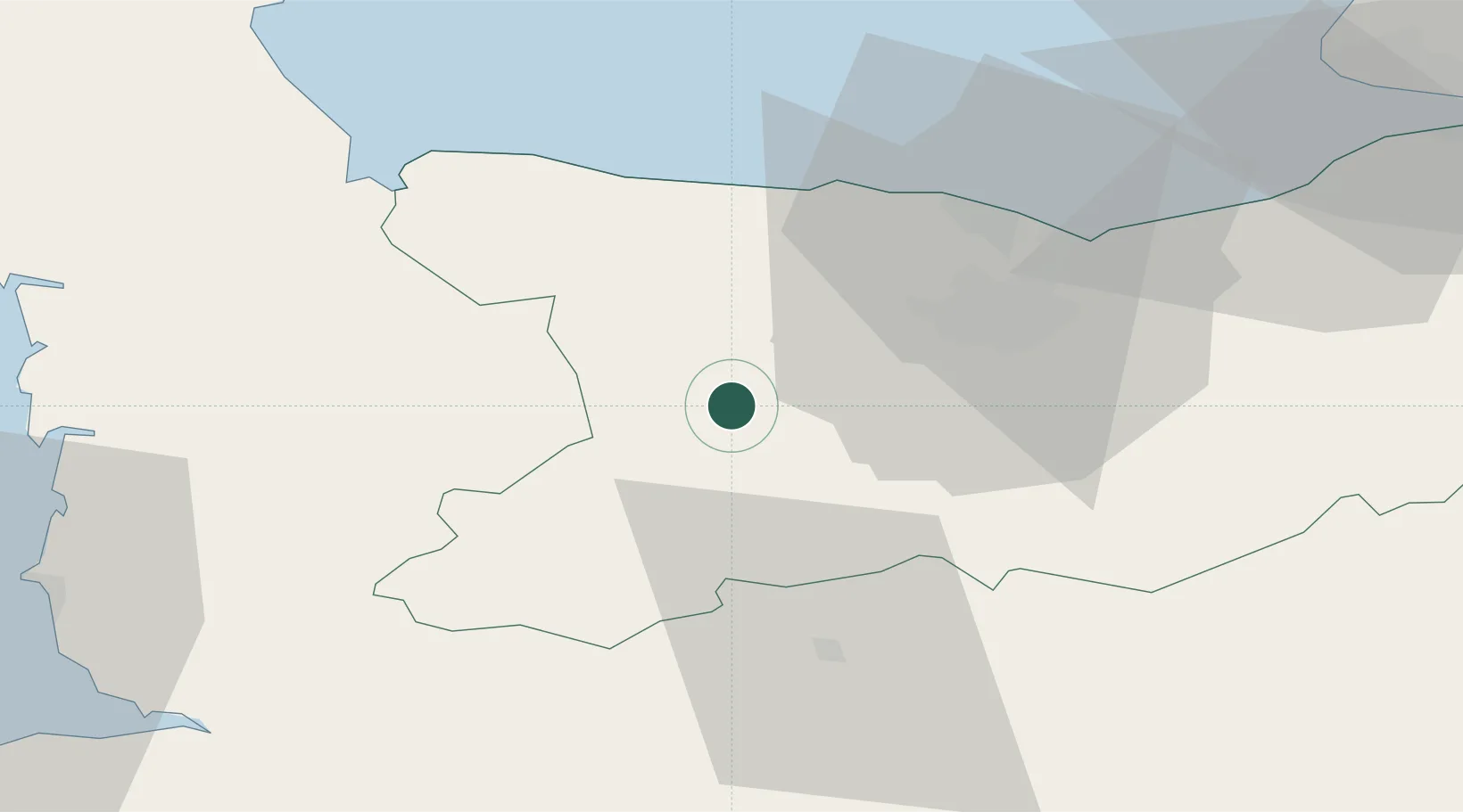
Place type
Populated place
Region
Normandy
Population
310
Time zone
Europe/Paris
Elevation
135 m
Location
Nearby Logistics Neighbours
Cities
- 1Grisy8 km
- 2Le Tourneur15 km
- 3Saint-Jean-le-Blanc15 km
- 4Cauville16 km
- 5Mouen17 km
Ports
- 1Port De Caen28 km
- 2Ouistreham40 km
- 3Deauville65 km
- 4Granville72 km
- 5Port Of Le Havre74 km
Airports
- 1Caen Carpiquet airport21 km
- 2Granville Airport68 km
- 3Deauville Normandie airport69 km
- 4Le Havre-Octeville Airport76 km
- 5Cherbourg Manche airport86 km
Trade Zones
- 1ZFU La Guérinière, La Grâce de Dieu24 km
- 2ZFU Hérouville-Saint-Clair29 km
- 3ZFU Le Havre76 km
- 4ZFU Alençon90 km
- 5ZFU Cherbourg-Octeville96 km
DatabookThe Record of Consolidated Knowledge
France beyond logistics?