UN/LOCODE hub · France
FRHYD

Bligny

48.1667°, 4.6167°
215
Population
2
Transport functions

Transport Functions

Port
Multimodal
UN/LOCODE

Hub Profile

Place type
Populated place
GeoNames
Region
Grand Est
GeoNames
Population
215
GeoNames
Time zone
Europe/Paris
GeoNames
Elevation
228 m
GeoNames

Location

Location of FRHYD
Natural Earth 10m (public domain) · Grand Est · FRHYD · 48.17, 4.62GoogleOSMYandex

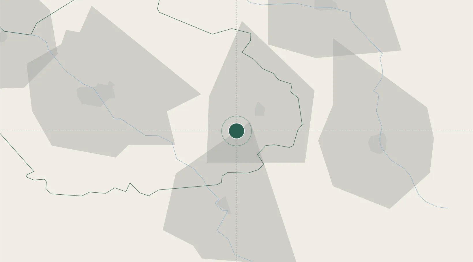
Nearby Logistics Neighbours

Cities
  1. 1Meurville4 km
  2. 2Champignol-lez-Mondeville6 km
  3. 3Baroville8 km
  4. 4Noé-les-Mallets8 km
  5. 5Fontette9 km
Nearest neighbours — logibook spatial index (haversine) over the source coordinates
Ports
  1. 1Bruxelles301 km
  2. 2Ghent329 km
  3. 3Antwerpen340 km
  4. 4Bruges356 km
  5. 5Nieuwpoort356 km
Nearest neighbours — logibook spatial index (haversine) over the source coordinates
Airports
  1. 1Troyes-Barberey Airport48 km
  2. 2Saint-Dizier – Robinson Air Base56 km
  3. 3Chalons Vatry airport74 km
  4. 4Auxerre Branches airport90 km
  5. 5Dijon Longvic airport106 km
Nearest neighbours — logibook spatial index (haversine) over the source coordinates
Trade Zones
  1. 1ZFU La Chapelle Saint-Luc, Les Noës-près-Troyes, Troyes, Sainte-Savine46 km
  2. 2ZFU Saint-Dizier55 km
  3. 3ZFU Sens100 km
  4. 4ZFU Chenôve101 km
  5. 5ZFU Montereau-Fault-Yonne126 km
Nearest neighbours — logibook spatial index (haversine) over the source coordinates
DatabookThe Record of Consolidated Knowledge
France beyond logistics?
Browse databook

All Sources

LocationsUN/LOCODE
UN/LOCODE — free
LocationsGeoNames
CC BY 4.0
Portsthe NGA World Port Index
Public domain (US gov)
AirportsOurAirports
Public domain
Trade Zonesthe World Bank SEZ database
CC BY 4.0
Trade ZonesOpen Zone Map
CC BY
← France locations