Transport Functions
Multimodal
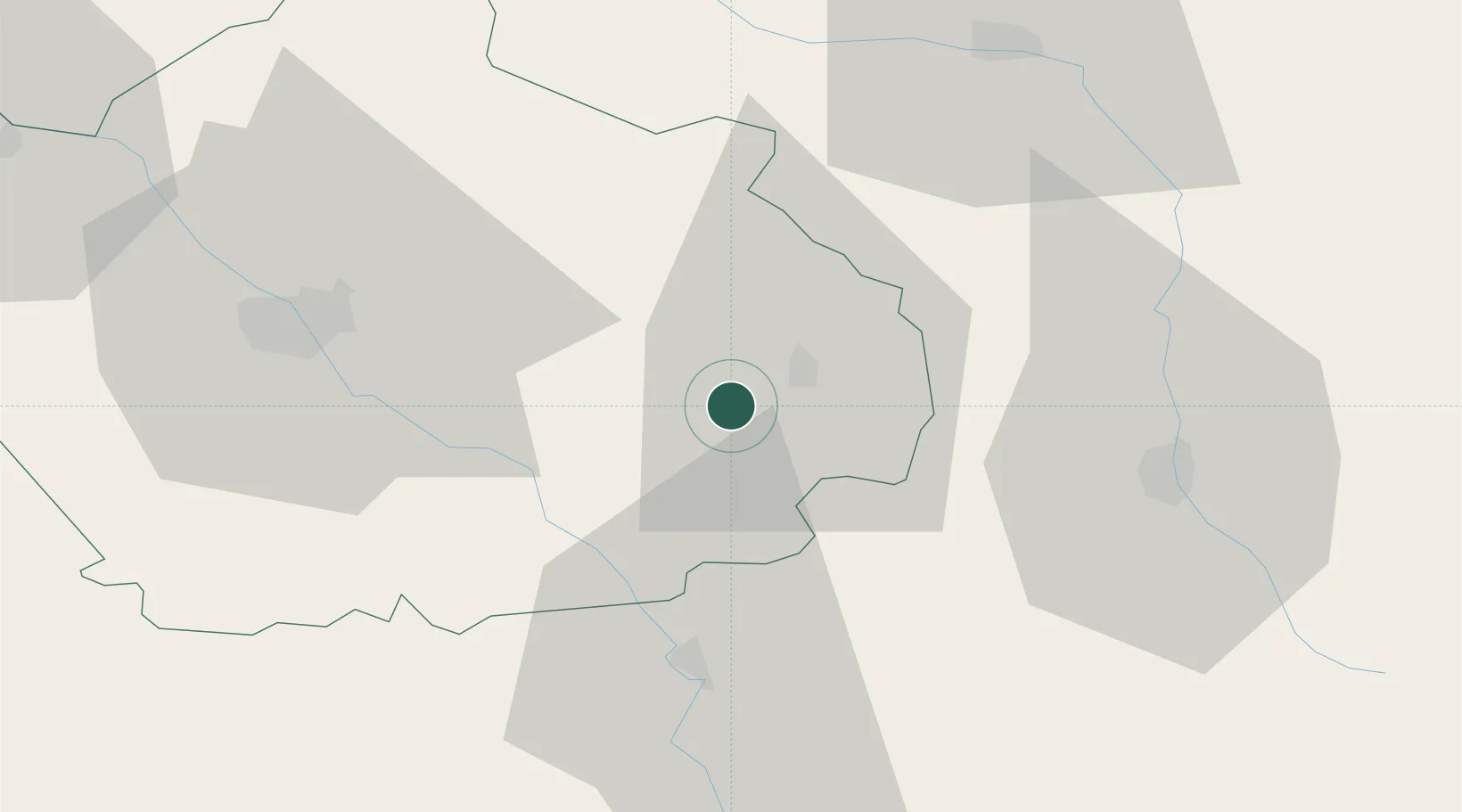
Hub Profile
Place type
Populated place
Region
Grand Est
Population
183
Time zone
Europe/Paris
Elevation
201 m
Location
Nearby Logistics Neighbours
Cities
- 1Bligny4 km
- 2Bar-sur-Aube7 km
- 3Baroville7 km
- 4Champignol-lez-Mondeville9 km
- 5Arrentières10 km
Ports
- 1Bruxelles297 km
- 2Ghent325 km
- 3Antwerpen336 km
- 4Bruges352 km
- 5Nieuwpoort353 km
Airports
Trade Zones
- 1ZFU La Chapelle Saint-Luc, Les Noës-près-Troyes, Troyes, Sainte-Savine45 km
- 2ZFU Saint-Dizier52 km
- 3ZFU Sens100 km
- 4ZFU Chenôve105 km
- 5ZFU Montereau-Fault-Yonne126 km
DatabookThe Record of Consolidated Knowledge
France beyond logistics?