Transport Functions
Multimodal
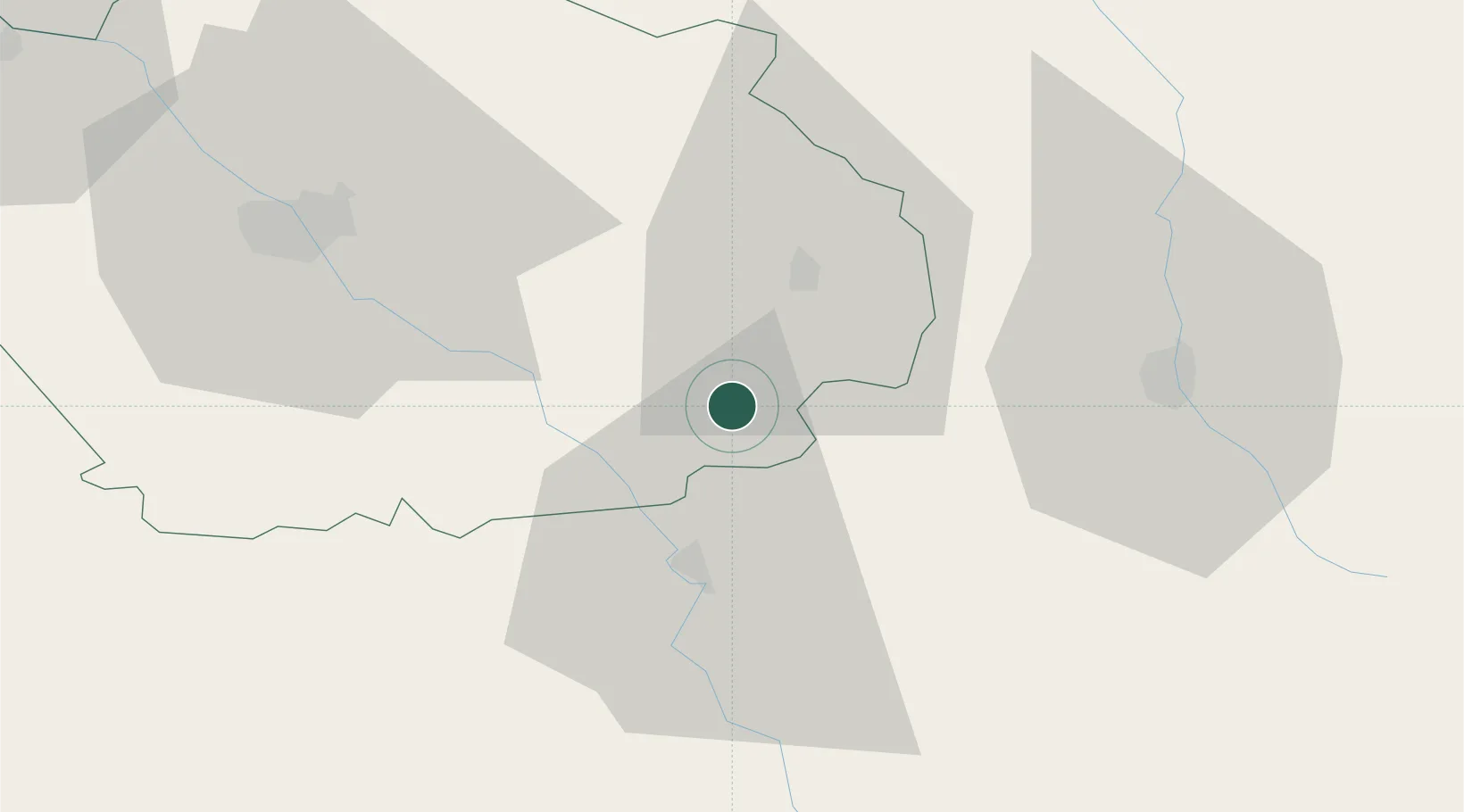
Hub Profile
Place type
Populated place
Region
Grand Est
Population
181
Time zone
Europe/Paris
Elevation
307 m
Location
Nearby Logistics Neighbours
Cities
- 1Noé-les-Mallets4 km
- 2Champignol-lez-Mondeville7 km
- 3Bligny9 km
- 4Grancey-sur-Ource10 km
- 5Landreville11 km
Ports
- 1Bruxelles310 km
- 2Ghent338 km
- 3Antwerpen349 km
- 4Bruges365 km
- 5Nieuwpoort365 km
Airports
Trade Zones
DatabookThe Record of Consolidated Knowledge
France beyond logistics?