Transport Functions
Multimodal
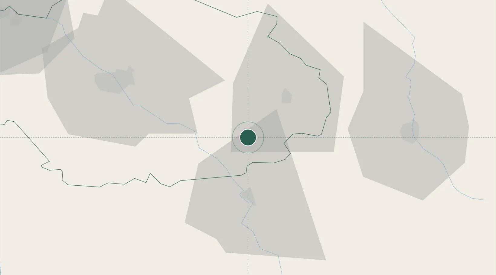
Hub Profile
Place type
Populated place
Region
Grand Est
Population
141
Time zone
Europe/Paris
Elevation
256 m
Location
Nearby Logistics Neighbours
Cities
- 1Fontette4 km
- 2Landreville8 km
- 3Bligny8 km
- 4Ville-sur-Arce9 km
- 5Champignol-lez-Mondeville9 km
Ports
- 1Bruxelles308 km
- 2Ghent335 km
- 3Antwerpen347 km
- 4Bruges362 km
- 5Nieuwpoort362 km
Airports
- 1Troyes-Barberey Airport48 km
- 2Saint-Dizier – Robinson Air Base65 km
- 3Chalons Vatry airport80 km
- 4Auxerre Branches airport84 km
- 5Dijon Longvic airport100 km
Trade Zones
DatabookThe Record of Consolidated Knowledge
France beyond logistics?