UN/LOCODE hub · France
FR3EJ

Baroville

48.2000°, 4.7167°
1
Transport functions

Transport Functions

Multimodal
UN/LOCODE

Hub Profile

Place type
Populated place
GeoNames
Region
Grand Est
GeoNames
Time zone
Europe/Paris
GeoNames
Elevation
219 m
GeoNames

Location

Location of FR3EJ
Natural Earth 10m (public domain) · Grand Est · FR3EJ · 48.20, 4.72GoogleOSMYandex

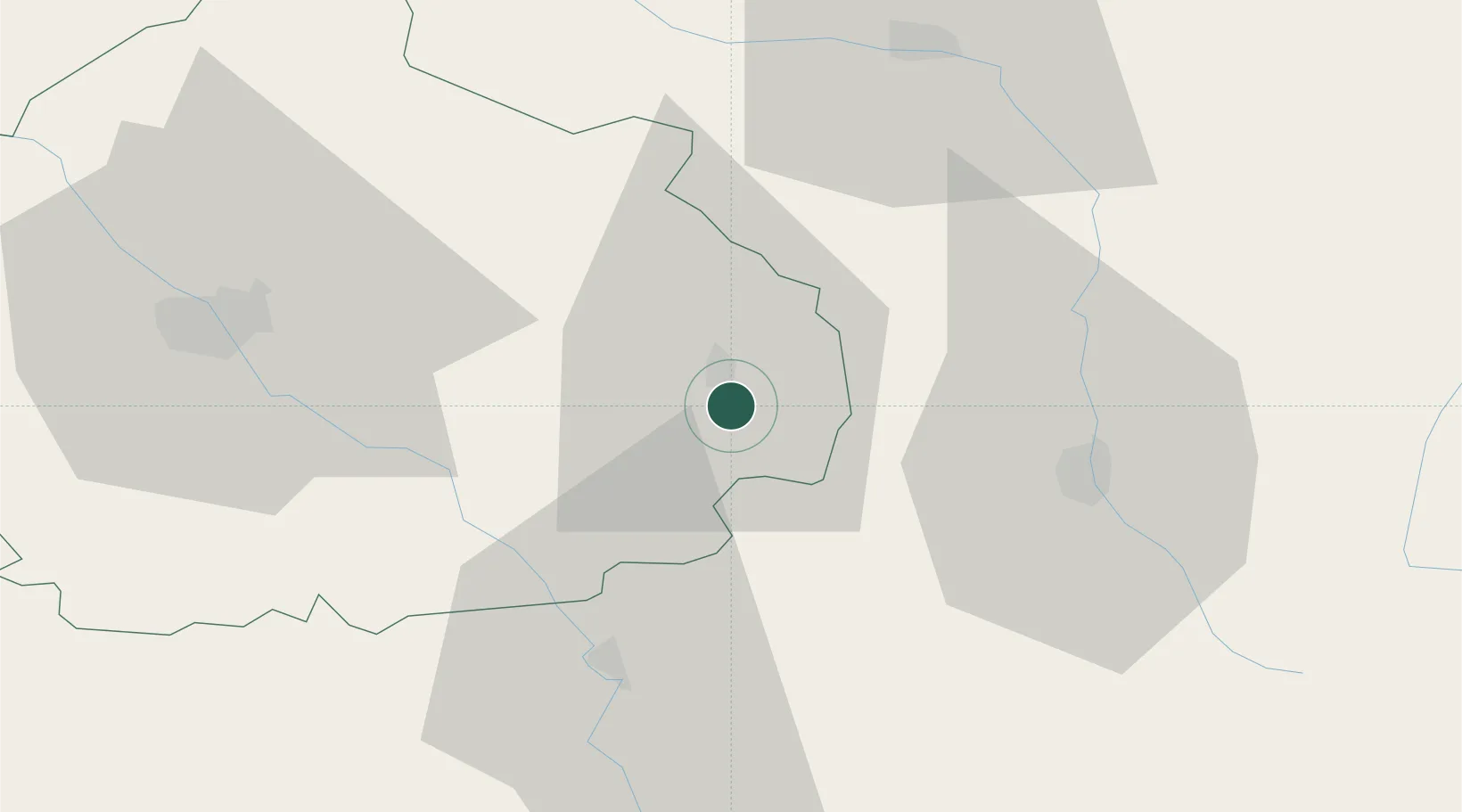
Nearby Logistics Neighbours

Cities
  1. 1Bar-sur-Aube4 km
  2. 2Voigny5 km
  3. 3Arrentières6 km
  4. 4Meurville7 km
  5. 5Engente8 km
Nearest neighbours — logibook spatial index (haversine) over the source coordinates
Ports
  1. 1Bruxelles298 km
  2. 2Ghent327 km
  3. 3Antwerpen336 km
  4. 4Bruges354 km
  5. 5Nieuwpoort356 km
Nearest neighbours — logibook spatial index (haversine) over the source coordinates
Airports
  1. 1Saint-Dizier – Robinson Air Base50 km
  2. 2Troyes-Barberey Airport54 km
  3. 3Chalons Vatry airport74 km
  4. 4Auxerre Branches airport99 km
  5. 5Nancy-Ochey (BA 133) Air Base101 km
Nearest neighbours — logibook spatial index (haversine) over the source coordinates
Trade Zones
  1. 1ZFU Saint-Dizier49 km
  2. 2ZFU La Chapelle Saint-Luc, Les Noës-près-Troyes, Troyes, Sainte-Savine52 km
  3. 3ZFU Chenôve103 km
  4. 4ZFU Sens107 km
  5. 5ZFU Maxéville, Laxou, et de Nancy121 km
Nearest neighbours — logibook spatial index (haversine) over the source coordinates
DatabookThe Record of Consolidated Knowledge
France beyond logistics?
Browse databook

All Sources

LocationsUN/LOCODE
UN/LOCODE — free
Portsthe NGA World Port Index
Public domain (US gov)
AirportsOurAirports
Public domain
Trade Zonesthe World Bank SEZ database
CC BY 4.0
Trade ZonesOpen Zone Map
CC BY
← France locations