Transport Functions
Port
Road
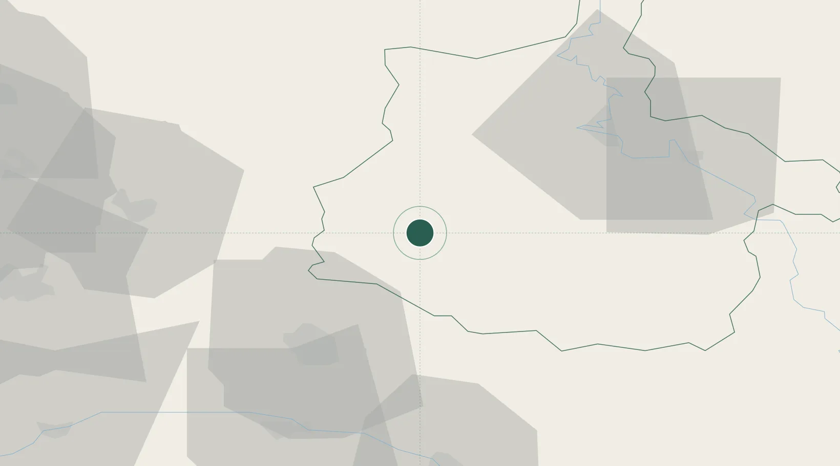
Hub Profile
Place type
Populated place
Region
Grand Est
Population
125
Time zone
Europe/Paris
Elevation
74 m
Location
Nearby Logistics Neighbours
Cities
- 1Rethel5 km
- 2Sault-lès-Rethel5 km
- 3Ménil-Annelles14 km
- 4Aussonce19 km
- 5Jandun23 km
Airports
Trade Zones
- 1ZFU Reims37 km
- 2ZFU Ronde Couture40 km
- 3ZFU Presles, Chevreux74 km
- 4ZFU Maubeuge, Louvroil87 km
- 5ZFU Le Vermandois Vermand, Fayet, Artois, Champagne87 km
DatabookThe Record of Consolidated Knowledge
France beyond logistics?