Transport Functions
Port
Rail
Road
Airport
Hub Profile
Place type
District seat
Region
Grand Est
Population
196,565
Time zone
Europe/Paris
Elevation
88 m
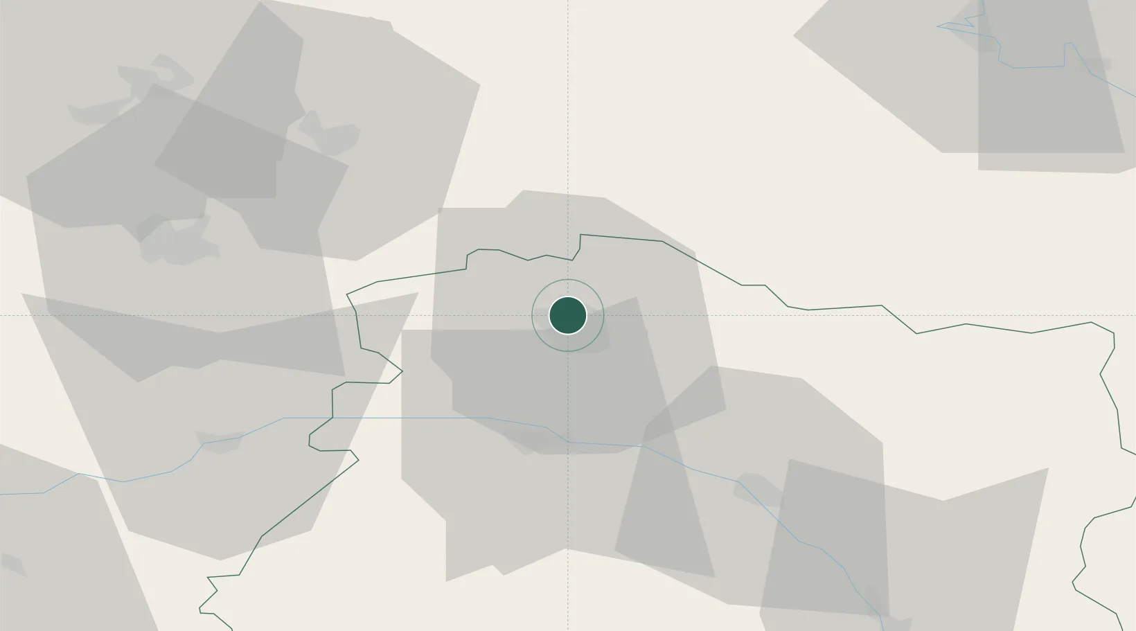
Location
Nearby Logistics Neighbours
Cities
- 1Thillois6 km
- 2Merfy7 km
- 3Saint-Léonard7 km
- 4Trois-Puits7 km
- 5Pouillon8 km
Ports
- 1Bruxelles179 km
- 2Ghent201 km
- 3Antwerpen218 km
- 4Bruges226 km
- 5Nieuwpoort227 km
Airports
Trade Zones
- 1ZFU Reims4 km
- 2ZFU Presles, Chevreux54 km
- 3ZFU Ronde Couture73 km
- 4ZFU Le Vermandois Vermand, Fayet, Artois, Champagne88 km
- 5ZFU Meaux90 km
DatabookThe Record of Consolidated Knowledge
France beyond logistics?