Transport Functions
Road
Multimodal
Hub Profile
Place type
Populated place
Region
Grand Est
Population
1,102
Time zone
Europe/Paris
Elevation
175 m
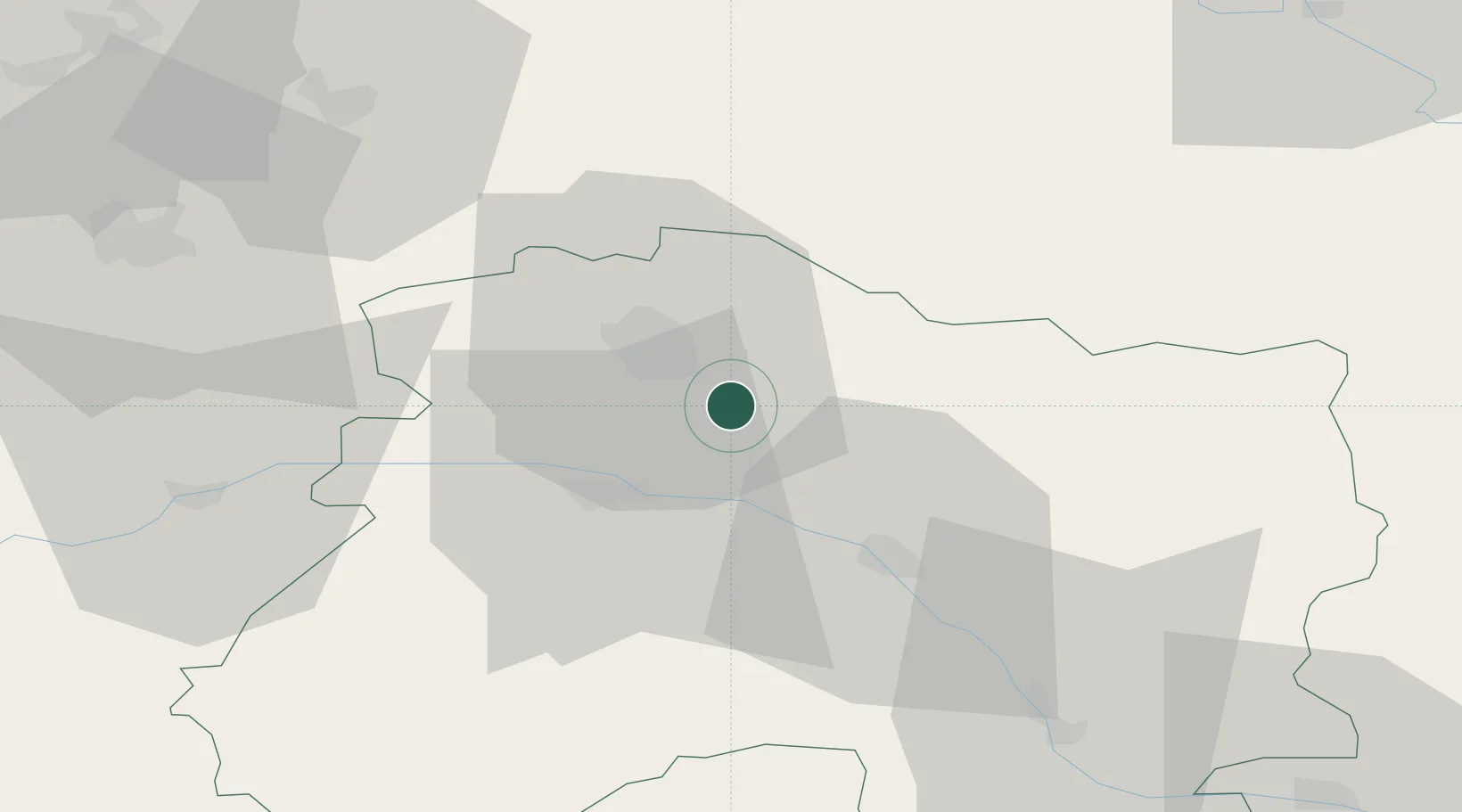
Location
Nearby Logistics Neighbours
Cities
- 1Mailly-Champagne3 km
- 2Sillery4 km
- 3Val-de-Vesle5 km
- 4Ludes5 km
- 5Villers-Marmery5 km
Ports
- 1Bruxelles190 km
- 2Ghent213 km
- 3Antwerpen229 km
- 4Bruges239 km
- 5Nieuwpoort240 km
Airports
Trade Zones
- 1ZFU Reims15 km
- 2ZFU Presles, Chevreux66 km
- 3ZFU Ronde Couture76 km
- 4ZFU Saint-Dizier79 km
- 5ZFU Meaux95 km
DatabookThe Record of Consolidated Knowledge
France beyond logistics?