Transport Functions
Road
Multimodal
Hub Profile
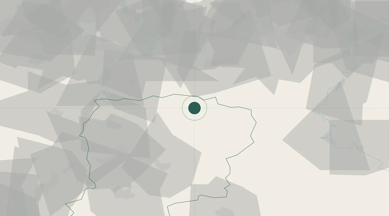
Place type
Populated place
Region
Hauts-de-France
Population
1,209
Time zone
Europe/Paris
Elevation
204 m
Location
Nearby Logistics Neighbours
Cities
- 1Le Nouvion-en-Thiérache6 km
- 2Fontaine-lès-Vervins14 km
- 3Sains-Richaumont19 km
- 4Vadencourt19 km
- 5Flaumont-Waudrechies21 km
Ports
- 1Bruxelles107 km
- 2Ghent123 km
- 3Antwerpen145 km
- 4Bruges147 km
- 5Nieuwpoort151 km
Airports
Trade Zones
DatabookThe Record of Consolidated Knowledge
France beyond logistics?