Economic Revitalization Project · France

ZFU Denain, Douchy-les-Mines, Escaudain et Lourches Active
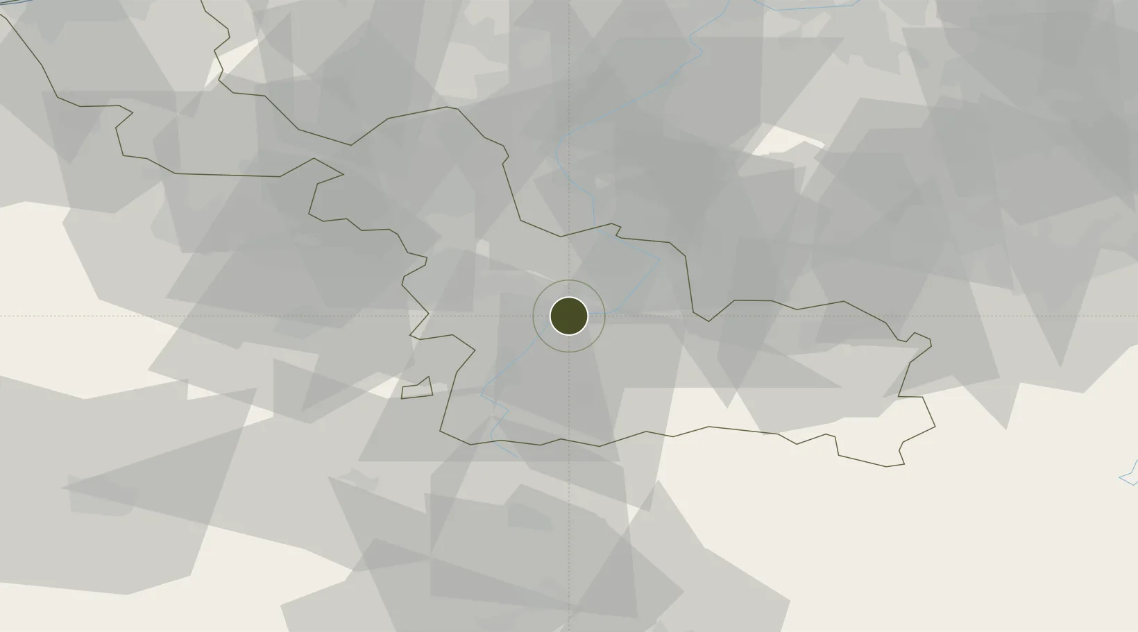
50.3104°, 3.3805°
461 ha
Zone area
87.7 km
Nearest port
6.0 km
Nearest airport

Gateway access

Nearest neighbours — logibook spatial index (haversine) over the source coordinates

Zone profile

Zone type
Economic Revitalization Project
Open Zone Map
Region
Nord
Open Zone Map
Status
Active
Open Zone Map
Management
Public
Open Zone Map
Operator
Ville de Douchy-les-Mines
Open Zone Map
Legal framework
Décret no 65-939 du 8 novembre 1965, Décret du 9 Octobre 2008
Open Zone Map

Location

Location of ozm-2019
Natural Earth 10m (public domain) · Nord · ozm-2019 · 50.31, 3.38GoogleOSMYandex

Nearby Logistics Neighbours

Ports
  1. 1Ghent88 km
  2. 2Bruxelles92 km
  3. 3Nieuwpoort102 km
  4. 4Bruges103 km
  5. 5Oostende108 km
Nearest neighbours — logibook spatial index (haversine) over the source coordinates
Airports
  1. 1Valenciennes-Denain Airfield6 km
  2. 2Lille Airport35 km
  3. 3Chièvres Air Base44 km
  4. 4Péronne Saint-Quentin Airfield55 km
  5. 5Flanders International Airport Kortrijk-Wevelgem58 km
Nearest neighbours — logibook spatial index (haversine) over the source coordinates
Cities
  1. 1Denain2 km
  2. 2Neuville-sur-Escaut3 km
  3. 3Escaudain3 km
  4. 4Thiant5 km
  5. 5Bouchain5 km
Nearest neighbours — logibook spatial index (haversine) over the source coordinates
DatabookThe Record of Consolidated Knowledge
France beyond logistics?
Browse databook

All Sources

Trade ZonesOpen Zone Map
CC BY
Portsthe NGA World Port Index
Public domain (US gov)
AirportsOurAirports
Public domain
LocationsUN/LOCODE
UN/LOCODE — free
← France trade zones