UN/LOCODE hub · France
FRLEK

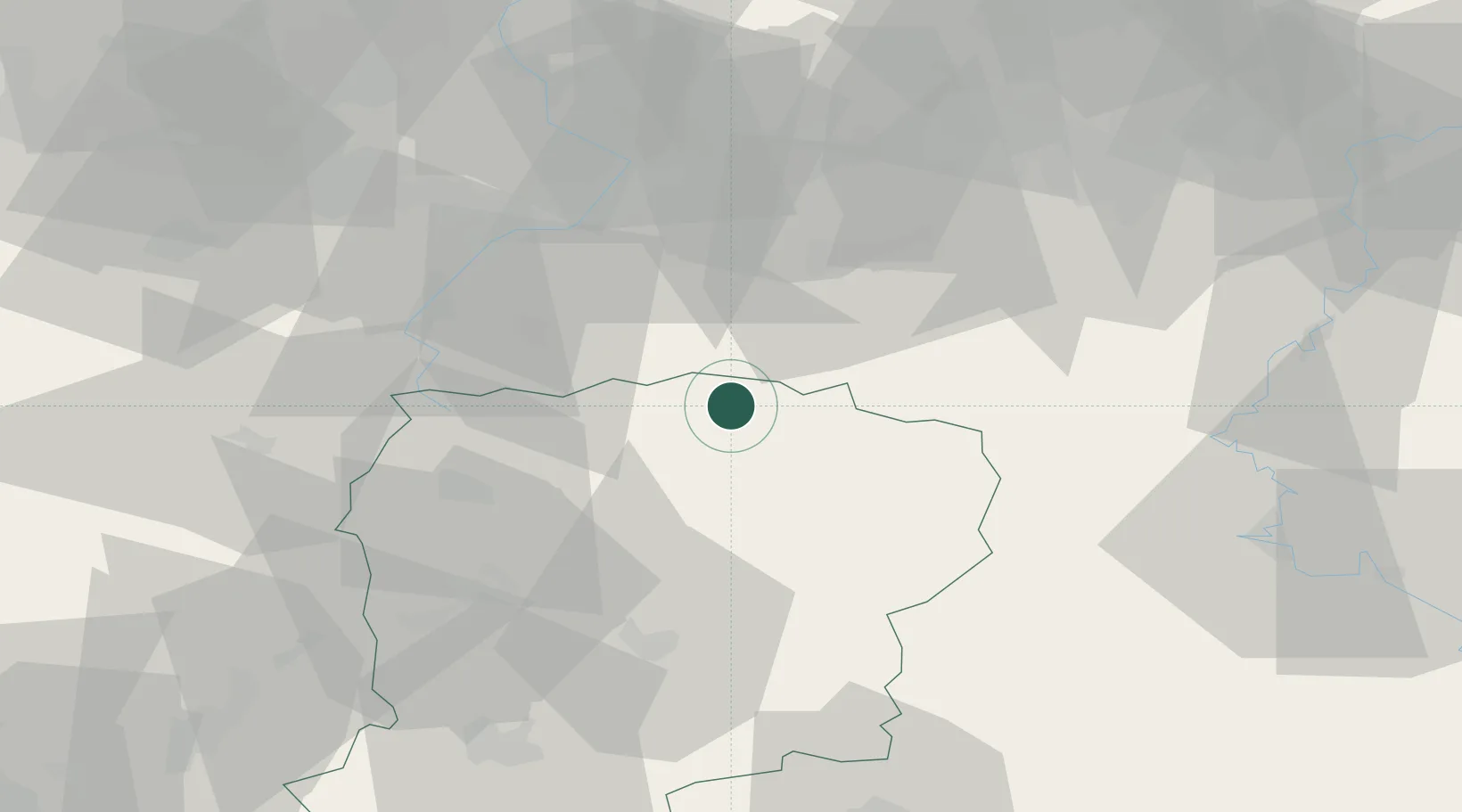
Le Nouvion-en-Thiérache

50.0000°, 3.7667°
2,951
Population
2
Transport functions

Transport Functions

Road
Multimodal
UN/LOCODE

Hub Profile

Place type
Populated place
GeoNames
Region
Hauts-de-France
GeoNames
Population
2,951
GeoNames
Time zone
Europe/Paris
GeoNames
Elevation
177 m
GeoNames

Location

Location of FRLEK
Natural Earth 10m (public domain) · Hauts-de-France · FRLEK · 50.00, 3.77GoogleOSMYandex

Nearby Logistics Neighbours

Cities
  1. 1Buironfosse6 km
  2. 2Vadencourt16 km
  3. 3Fontaine-lès-Vervins19 km
  4. 4Flaumont-Waudrechies21 km
  5. 5Sains-Richaumont21 km
Nearest neighbours — logibook spatial index (haversine) over the source coordinates
Ports
  1. 1Bruxelles105 km
  2. 2Ghent119 km
  3. 3Antwerpen143 km
  4. 4Bruges143 km
  5. 5Nieuwpoort145 km
Nearest neighbours — logibook spatial index (haversine) over the source coordinates
Airports
  1. 1Valenciennes-Denain Airfield43 km
  2. 2Péronne Saint-Quentin Airfield55 km
  3. 3Chièvres Air Base64 km
  4. 4Charleville-Mézières Ardennes-Etienne Riché Airfield68 km
  5. 5Florennes Air Base68 km
Nearest neighbours — logibook spatial index (haversine) over the source coordinates
DatabookThe Record of Consolidated Knowledge
France beyond logistics?
Browse databook

All Sources

LocationsUN/LOCODE
UN/LOCODE — free
LocationsGeoNames
CC BY 4.0
Portsthe NGA World Port Index
Public domain (US gov)
AirportsOurAirports
Public domain
Trade Zonesthe World Bank SEZ database
CC BY 4.0
Trade ZonesOpen Zone Map
CC BY
← France locations